


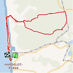

5,7 km | 7,1 km-effort


Gebruiker


Gratisgps-wandelapplicatie
 SityTrail
IGN / Geografische instituten
SityTrail World
De wereld gaat voor u open
Tocht Stappen van 11,1 km beschikbaar op Hauts-de-France, Pas-de-Calais, Neufchâtel-Hardelot. Deze tocht wordt voorgesteld door patrice76.
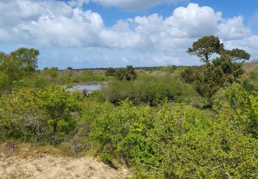
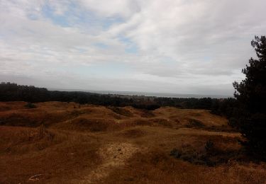
Parcours que l'on apprécie fortement entre un départ sur la plage puis une boucle dans la foret et un final sur la plage(attention aux marées)


Stappen

Stappen

Stappen

Noords wandelen
Stappen

Stappen
Stappen

Stappen

Paard