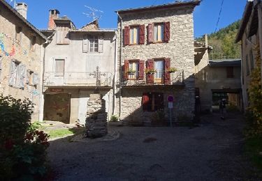
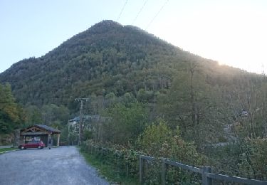
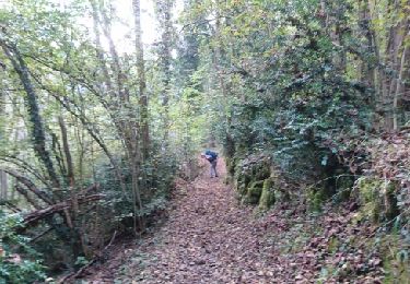
7,4 km | 14,3 km-effort
Début rando refuge de Bassiès
motardes04
Gebruiker
Lengte
6,1 km
Max. hoogte
1489 m
Positief hoogteverschil
633 m
Km-Effort
14,6 km
Min. hoogte
824 m
Negatief hoogteverschil
636 m
Boucle
Ja
Datum van aanmaak :
2015-12-27 00:00:00.0
Laatste wijziging :
2015-12-27 00:00:00.0
3h00
Moeilijkheid : Medium
Gratisgps-wandelapplicatie
Over ons
Tocht Stappen van 6,1 km beschikbaar op Occitanië, Ariège, Auzat. Deze tocht wordt voorgesteld door motardes04.
Beschrijving
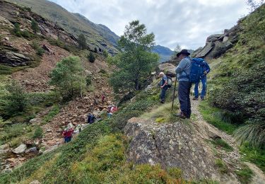
Il était un peu tard pour finir la montée aux Lacs et au refuge, malgré le temps printanier de ce 27 décembre. NB: ça monte bien !
Plaatsbepaling
Land:
France
Regio :
Occitanië
Departement/Provincie :
Ariège
Gemeente :
Auzat
Locatie:
Unknown
Vertrek:(Dec)
Vertrek:(UTM)
374380 ; 4733573 (31T) N.
Opmerkingen
Wandeltochten in de omgeving
Pica d'Estats et Montcalm
Stappen
Zeer moeilijk
Auzat,
Occitanië,
Ariège,
France
18,8 km | 46 km-effort
10h 23min
Ja
Le Palet de Samsom
Te voet
Gemakkelijk
Val-de-Sos,
Occitanië,
Ariège,
France
5,8 km | 10,3 km-effort
2h 20min
Ja
bassies Auzat
Stappen
Zeer moeilijk
Auzat,
Occitanië,
Ariège,
France
23 km | 36 km-effort
6h 57min
Neen
171008 EnCours
Stappen
Heel gemakkelijk
Auzat,
Occitanië,
Ariège,
France
7,3 km | 14,2 km-effort
3h 50min
Ja
171007 EnCours
Stappen
Heel gemakkelijk
(1)
Val-de-Sos,
Occitanië,
Ariège,
France
10,8 km | 17,1 km-effort
4h 50min
Ja
171006.2 EnCours
Stappen
Heel gemakkelijk
Auzat,
Occitanië,
Ariège,
France
8,7 km | 13,5 km-effort
3h 45min
Ja
171006.1 EnCours
Stappen
Heel gemakkelijk
Auzat,
Occitanië,
Ariège,
France
3,3 km | 5,4 km-effort
1h 30min
Ja