


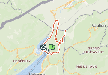

3,2 km | 4,4 km-effort


Gebruiker


Gratisgps-wandelapplicatie
 SityTrail
IGN / Geografische instituten
SityTrail World
De wereld gaat voor u open
Tocht Stappen van 12,5 km beschikbaar op Waadland, District du Jura-Nord vaudois, L'Abbaye. Deze tocht wordt voorgesteld door cgreutert.
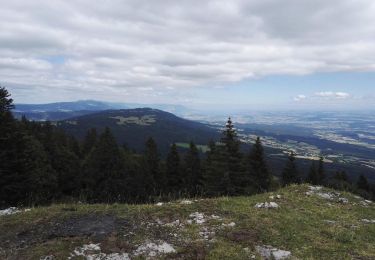
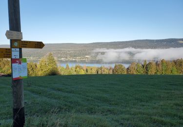
Balade du Pont en direction du Mt. d'Orzeires puis monter à la dent de Vaulion pour redescendre vers le Pont

Te voet
Te voet
Te voet
Stappen
Sneeuwschoenen
Stappen
Stappen
Stappen

Te voet