Tocht Stappen Perpignan - 66 PERPIGNAN, entre moulin à vent mas Balande et Cabestany - Photo

66 PERPIGNAN, entre moulin à vent mas Balande et Cabestany

 jeff66
jeff66

Gebruiker

© OpenStreetMap contributors
Lengte
Lengte
7,5 km
Max. hoogte
Max. hoogte
73 m
Positief hoogteverschil
61 m
Km-Effort
Km-Effort  
8,3 km
Min. hoogte
Min. hoogte
28 m
Negatief hoogteverschil
61 m
Boucle
Boucle
Ja
Datum van aanmaak :
2015-12-14 00:00:00.0
Laatste wijziging :
2015-12-14 00:00:00.0

(0 Bericht)

Stappen
Stappen
1h22
Moeilijkheid : Gemakkelijk

Scan deze QR-code om de tocht te openen in de SityTrail-applicatie

Gratisgps-wandelapplicatie

Logo SityTrail SityTrail

IGN / Geografische instituten

SityTrail uit de App Store downloaden SityTrail uit Google Play downloaden

Logo SityTrail SityTrail World

De wereld gaat voor u open

SityTrail uit de App Store downloaden SityTrail uit Google Play downloaden SityTrail op Huawei AppGallery downloaden

Over ons

Tocht Stappen van 7,5 km beschikbaar op Occitanië, Pyrénées-Orientales, Perpignan. Deze tocht wordt voorgesteld door jeff66.

Beschrijving

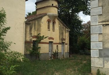
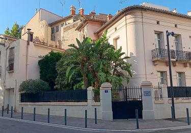
66 PERPIGNAN, av.P.Alduy, Mas Gaffard, le hameau DANTJOU, mas Balande, el pou de les Coulobres, station de pompage, chemin VC203, passage sous la RD22C, av. j.Giraudoux, moulin à vent, rond point des palmes académiques, rue de port-Vendred, av. du RÉART, rembla d'occitanie, av. F. De sardane, espace vert de la butte, résidence P.Alduy, Château d'Eau av. Said Boualam, collège St expert, parc des sports A.Mimoun, piscine, lycée Léon Blum, parcours de santé

Hoogteprofiel

Foto's

Plaatsbepaling

Land:
France
Regio :
Occitanië
Departement/Provincie :
Pyrénées-Orientales
Gemeente :
Perpignan
Locatie:
Unknown
Vertrek:(Dec)
Vertrek:(UTM)
492213 ; 4724196 (31T) N.

Wandeltochten in de omgeving

Tocht Stappen Théza - 66 THEZA - CORNEILLA-DEL-VERCOL - Photo
Stappen
jeff66

Stappen

Gemakkelijk
(2)
Théza, Occitanië, Pyrénées-Orientales, France
7 km | 7,5 km-effort
1h 8min
Ja
Tocht Stappen Cabestany - Chemins autour de Cabestany - Photo
Stappen
tracegps

Stappen

Medium
(2)
Cabestany, Occitanië, Pyrénées-Orientales, France
11,8 km | 12,7 km-effort
3h 0min
Ja
Tocht Stappen Perpignan - Perpignan 01.10.2017  - Photo
Stappen
jeff66

Stappen

Gemakkelijk
(1)
Perpignan, Occitanië, Pyrénées-Orientales, France
6,7 km | 7,5 km-effort
1h 39min
Neen
Tocht Stappen Villeneuve-de-la-Raho - 66 VILLENEUVE-DE-LA-RAHO - grand tour périphérique du lac par les lignes de crêtes  - Photo
Stappen
jeff66

Stappen

Gemakkelijk
(2)
Villeneuve-de-la-Raho, Occitanië, Pyrénées-Orientales, France
10 km | 11,5 km-effort
1h 44min
Ja
Tocht Stappen Saleilles - 66 SALEILLES - St-NAZAIRE, entre FOSSEILLE et REART - Photo
Stappen
jeff66

Stappen

Gemakkelijk
(1)
Saleilles, Occitanië, Pyrénées-Orientales, France
7,3 km | 7,7 km-effort
1h 8min
Ja
Tocht Quad Villeneuve-de-la-Raho - Villeneuve-de-la-Raho-Collioure(Juillet-Aout) - Photo
Quad
Quad Ride

Quad

Heel gemakkelijk
(1)
Villeneuve-de-la-Raho, Occitanië, Pyrénées-Orientales, France
39 km | 44 km-effort
1h 40min
Neen
Tocht Stappen Cabestany - cabestany - Photo
Stappen
66Gribouille83

Stappen

Medium
Cabestany, Occitanië, Pyrénées-Orientales, France
7,5 km | 8,2 km-effort
2h 35min
Ja
Tocht Stappen Perpignan - petit tour à Perpignan  - Photo
Stappen
GUIDE
stef789

Stappen

Heel gemakkelijk
Perpignan, Occitanië, Pyrénées-Orientales, France
3,9 km | 4,2 km-effort
1h 53min
Ja
Tocht Stappen Perpignan - Perpignan  - Photo
Stappen
ombrabella

Stappen

Heel gemakkelijk
Perpignan, Occitanië, Pyrénées-Orientales, France
18 km | 19,9 km-effort
2h 23min
Neen


Sluiten
Mijn abonnementen