


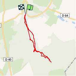


13,4 km | 15,7 km-effort

Gebruiker


Gratisgps-wandelapplicatie
 SityTrail
IGN / Geografische instituten
SityTrail World
De wereld gaat voor u open
Tocht Stappen van 6,7 km beschikbaar op Grand Est, Vogezen, Escles. Deze tocht wordt voorgesteld door jeanclaude12.
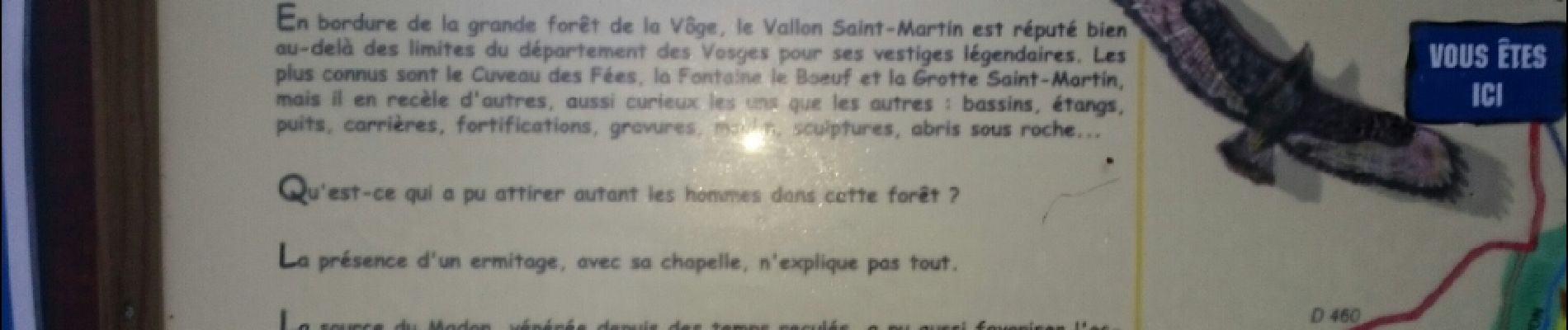
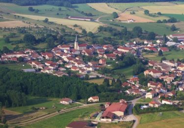
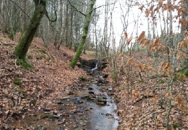
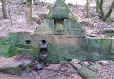
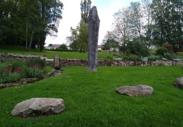
Situé sur la commune d'Escles (Vosges), ce vallon druidique intrigue par ses nombreux vestiges qui attestent des présences celte puis gallo-romaine : Cuveau des Fées, Fontaine le Boeuf, Grotte Saint-Martin.


Stappen
Lopen

Stappen
Stappen
Stappen
Stappen


sport
sport
Stappen