


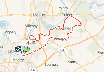


33 km | 37 km-effort

Gebruiker


Gratisgps-wandelapplicatie
 SityTrail
IGN / Geografische instituten
SityTrail World
De wereld gaat voor u open
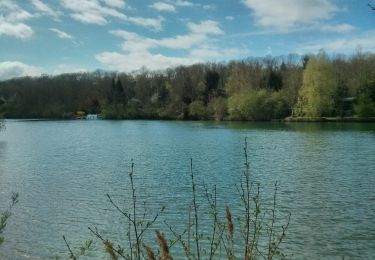
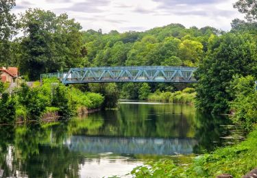
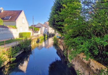
Tocht Mountainbike van 34 km beschikbaar op Île-de-France, Seine-et-Marne, Condé-Sainte-Libiaire. Deze tocht wordt voorgesteld door destras.
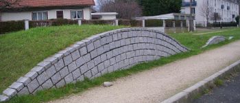
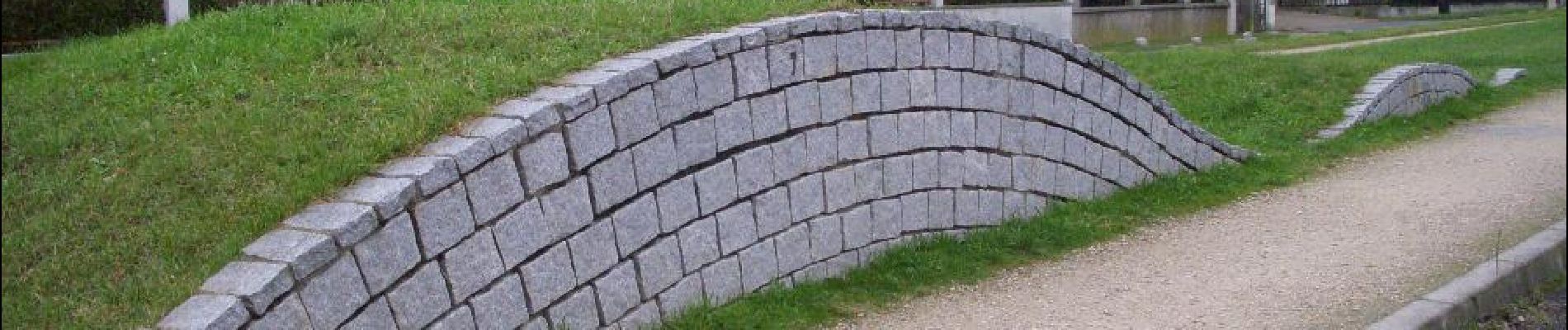
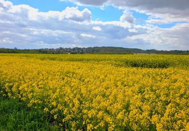
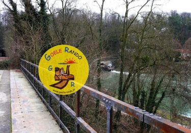
Attention, si vous suivez la Dhuys, il faut aimer la boue ! Sinon attendre 1 mois de grand beau temps. Retour par Trilport, Fublaines,Nanteuil-lès-Meaux

Stappen
Mountainbike
Stappen
Te voet
Stappen
Stappen

Stappen
Stappen
Stappen