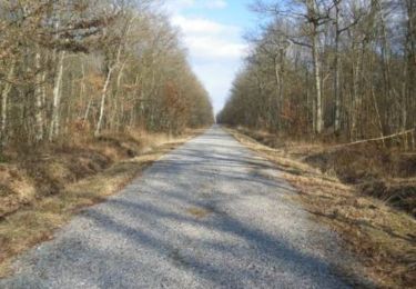
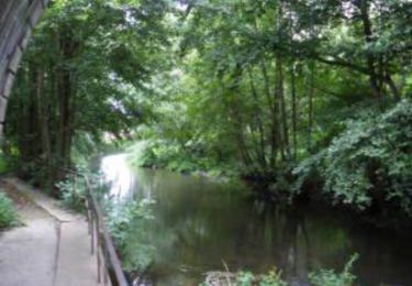
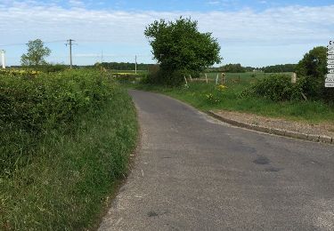
4,4 km | 4,6 km-effort
Bourth Circuit Pré Saul 5.5 Km
ODDAD78
Gebruiker
Lengte
5,5 km
Max. hoogte
212 m
Positief hoogteverschil
46 m
Km-Effort
6,2 km
Min. hoogte
183 m
Negatief hoogteverschil
46 m
Boucle
Ja
Datum van aanmaak :
2019-04-13 16:35:31.988
Laatste wijziging :
2019-04-13 16:35:32.033
1h21
Moeilijkheid : Gemakkelijk
Gratisgps-wandelapplicatie
Over ons
Tocht Stappen van 5,5 km beschikbaar op Normandië, Eure, Bourth. Deze tocht wordt voorgesteld door ODDAD78.
Beschrijving
Offre touristique de l'Office de Tourisme Normandie Sud - Verneuil sur Avre
Plaatsbepaling
Land:
France
Regio :
Normandië
Departement/Provincie :
Eure
Gemeente :
Bourth
Locatie:
Unknown
Vertrek:(Dec)
Vertrek:(UTM)
338899 ; 5404310 (31U) N.
Opmerkingen
Wandeltochten in de omgeving
Circuit de Malicorne - Francheville
Stappen
Gemakkelijk
Verneuil d'Avre et d'Iton,
Normandië,
Eure,
France
1h 4min
Ja
La Voie Romaine - Francheville
Stappen
Moeilijk
Verneuil d'Avre et d'Iton,
Normandië,
Eure,
France
16,1 km | 17,3 km-effort
4h 0min
Ja
Circuit du Pré Saulé - Bourth
Stappen
Gemakkelijk
Bourth,
Normandië,
Eure,
France
5,5 km | 6,2 km-effort
1h 19min
Ja
Circuit découverte de villages normands - Les Barils
Fiets
Gemakkelijk
Les Barils,
Normandië,
Eure,
France
17,9 km | 19,7 km-effort
1h 15min
Ja
ballade autour de center parc les bois franc
Stappen
Heel gemakkelijk
Les Barils,
Normandië,
Eure,
France
12,9 km | 14,1 km-effort
2h 7min
Neen
Francheville Iton Voie Romaine 16.4 Km
Stappen
Gemakkelijk
Verneuil d'Avre et d'Iton,
Normandië,
Eure,
France
16,4 km | 17,8 km-effort
3h 54min
Ja
chaise dieu du theil 27 mars
Stappen
Gemakkelijk
Chaise-Dieu-du-Theil,
Normandië,
Eure,
France
8,5 km | 9,6 km-effort
2h 8min
Ja
Bourth et ses alentours
Stappen
Medium
Bourth,
Normandië,
Eure,
France
10,3 km | 11,3 km-effort
2h 33min
Ja