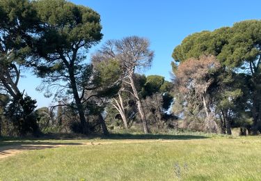
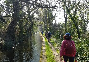
Tocht Stappen Perpignan - 66 PERPIGNAN - autour du centre du Monde et la BASSE - Photo

66 PERPIGNAN - autour du centre du Monde et la BASSE

 jeff66
jeff66

Gebruiker

© OpenStreetMap contributors
Lengte
Lengte
6,2 km
Max. hoogte
Max. hoogte
50 m
Positief hoogteverschil
44 m
Km-Effort
Km-Effort  
6,8 km
Min. hoogte
Min. hoogte
31 m
Negatief hoogteverschil
45 m
Boucle
Boucle
Ja
Datum van aanmaak :
2015-11-23 00:00:00.0
Laatste wijziging :
2015-11-23 00:00:00.0

(0 Bericht)

Stappen
Stappen
1h20
Moeilijkheid : Gemakkelijk

Scan deze QR-code om de tocht te openen in de SityTrail-applicatie

Gratisgps-wandelapplicatie

Logo SityTrail SityTrail

IGN / Geografische instituten

SityTrail uit de App Store downloaden SityTrail uit Google Play downloaden

Logo SityTrail SityTrail World

De wereld gaat voor u open

SityTrail uit de App Store downloaden SityTrail uit Google Play downloaden SityTrail op Huawei AppGallery downloaden

Over ons

Tocht Stappen van 6,2 km beschikbaar op Occitanië, Pyrénées-Orientales, Perpignan. Deze tocht wordt voorgesteld door jeff66.

Beschrijving

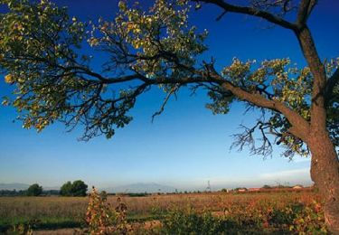
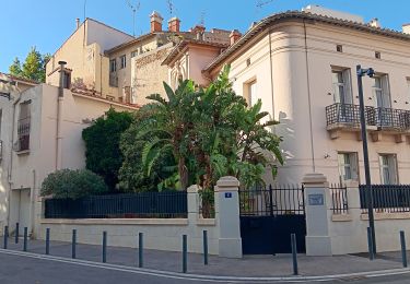
66 PERPIGNAN, avenue de l'abbé Pierre, en centre Del T mon, avenue du général de Gaule, place de Catalogne, rue du général Legrand, av. des palmiers, rue F. Ferrer, théâtre de l'archipel, av. du général Leclerc, quai F. Battlo, place de la victoire, le Castillet, rue Louis Blanc, rue des marchands, rue de la barre, rue gAlsace Lorraine, place Arago, voral Sébastien Vauban, quai pierre Bourdan, quai Alfred Nobel, quai d'Hanovre, passage sous les voies SNCF le long de la Basse, les jardins de la Basse, rue Antoine Becquerel, rue de LacazeDurhiers, av. dr JL Torreilles,

Hoogteprofiel

Foto's

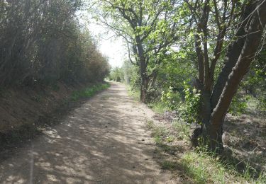
40 fotos in totaal. Klik op een foto om ze allemaal in de galerij weer te geven.

Plaatsbepaling

Land:
France
Regio :
Occitanië
Departement/Provincie :
Pyrénées-Orientales
Gemeente :
Perpignan
Locatie:
Unknown
Vertrek:(Dec)
Vertrek:(UTM)
489974 ; 4726587 (31T) N.

Wandeltochten in de omgeving

Tocht Stappen Saint-Estève - SAINT-ESTEVE 66 - ballade dans le Vignoble de Rivesaltes  - Photo
Stappen
jeff66

Stappen

Medium
(1)
Saint-Estève, Occitanië, Pyrénées-Orientales, France
8 km | 8,8 km-effort
1h 23min
Ja
Tocht Stappen Cabestany - Chemins autour de Cabestany - Photo
Stappen
tracegps

Stappen

Medium
(2)
Cabestany, Occitanië, Pyrénées-Orientales, France
11,8 km | 12,7 km-effort
3h 0min
Ja
Tocht Stappen Perpignan - Perpignan 01.10.2017  - Photo
Stappen
jeff66

Stappen

Gemakkelijk
(1)
Perpignan, Occitanië, Pyrénées-Orientales, France
6,7 km | 7,5 km-effort
1h 39min
Neen
Tocht Mountainbike Canohès - canohes - Photo
Mountainbike
haroldtheviking

Mountainbike

Medium
(2)
Canohès, Occitanië, Pyrénées-Orientales, France
37 km | 44 km-effort
2h 12min
Ja
Tocht Quad Villeneuve-de-la-Raho - Villeneuve-de-la-Raho-Collioure(Juillet-Aout) - Photo
Quad
Quad Ride

Quad

Heel gemakkelijk
(1)
Villeneuve-de-la-Raho, Occitanië, Pyrénées-Orientales, France
39 km | 44 km-effort
1h 40min
Neen
Tocht Stappen Cabestany - cabestany - Photo
Stappen
66Gribouille83

Stappen

Medium
Cabestany, Occitanië, Pyrénées-Orientales, France
7,5 km | 8,2 km-effort
2h 35min
Ja
Tocht Stappen Perpignan - petit tour à Perpignan  - Photo
Stappen
GUIDE
stef789

Stappen

Heel gemakkelijk
Perpignan, Occitanië, Pyrénées-Orientales, France
3,9 km | 4,2 km-effort
1h 53min
Ja
Tocht Stappen Perpignan - Perpignan  - Photo
Stappen
ombrabella

Stappen

Heel gemakkelijk
Perpignan, Occitanië, Pyrénées-Orientales, France
18 km | 19,9 km-effort
2h 23min
Neen
Tocht Stappen Perpignan - canal Perpignan  - Photo
Stappen
Fildesir

Stappen

Heel gemakkelijk
Perpignan, Occitanië, Pyrénées-Orientales, France
25 km | 27 km-effort
7h 29min
Neen


Sluiten
Mijn abonnementen