


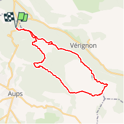

11 km | 15,4 km-effort


Gebruiker


Gratisgps-wandelapplicatie
 SityTrail
IGN / Geografische instituten
SityTrail World
De wereld gaat voor u open
Tocht Stappen van 19 km beschikbaar op Provence-Alpes-Côte d'Azur, Var, Aups. Deze tocht wordt voorgesteld door Sugg.
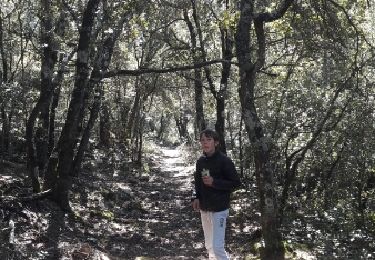
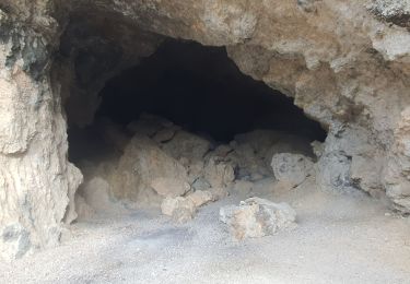
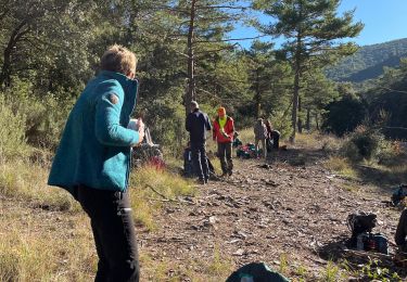
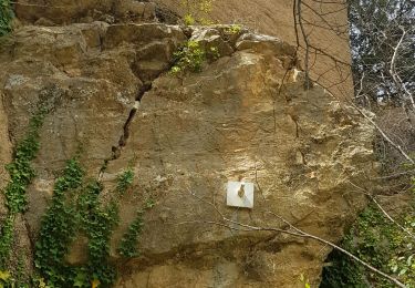
2015-11-18 Rando restons en Forme
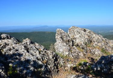
Depuis le col de la Bigue.
Effectué dans le sens inverse des aiguilles d'une montre, ce qui me paraît plus judicieux pour le plaisir.
Assez difficile par endroits pour des séniors.
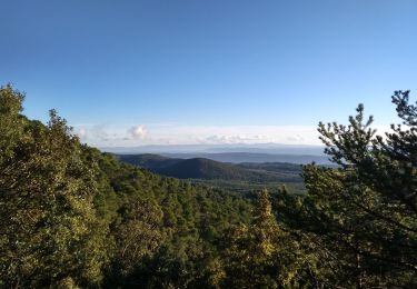
Le retour en crête est superbe et laisse de bons souvenirs.
Stappen
Stappen

Stappen
Stappen
Lopen
Stappen
Stappen
Stappen
Stappen