


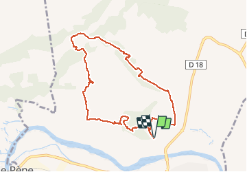


7,4 km | 11,5 km-effort

Gebruiker


Gratisgps-wandelapplicatie
 SityTrail
IGN / Geografische instituten
SityTrail World
De wereld gaat voor u open
Tocht Stappen van 9,9 km beschikbaar op Occitanië, Pyrénées-Orientales, Espira-de-l'Agly. Deze tocht wordt voorgesteld door jeff66.
66 ESPIPA DE L'AGLY, serrat de la devesa, promenade en pinede, mas Cremat, les Balmettes, mas Joud, les terres noires, mas bonhomme, Jaça de les Vaques. Mas Samsó,


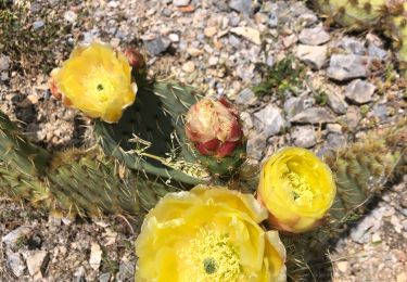
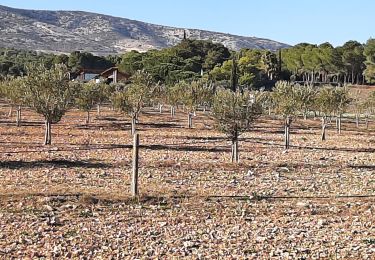
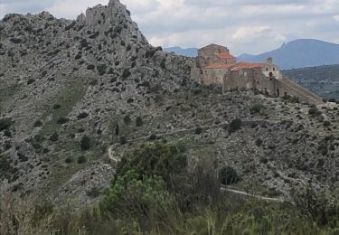
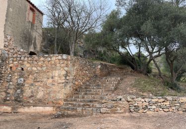
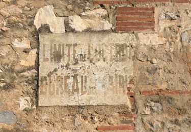
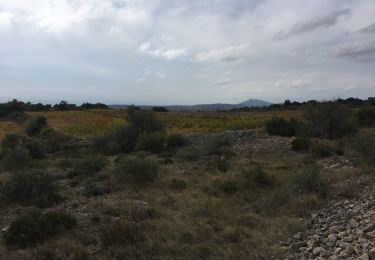
30 fotos in totaal. Klik op een foto om ze allemaal in de galerij weer te geven.

Stappen
Stappen
Stappen
Stappen
Stappen
Stappen
Stappen
Stappen
Stappen
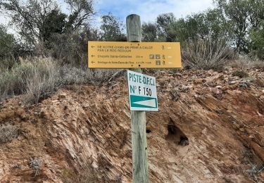
les sentiers ne sont pas entretenus donc on peut se perdre un peu, mais on arrive à récupérer l'itinéraire