


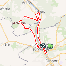


19,3 km | 26 km-effort

Gebruiker


Gratisgps-wandelapplicatie
 SityTrail
IGN / Geografische instituten
SityTrail World
De wereld gaat voor u open
Tocht Stappen van 13,1 km beschikbaar op Wallonië, Namen, Dinant. Deze tocht wordt voorgesteld door GerardBouche.
Passage en rive gauche de Meuse par l'écluse avant d'atteindre le village de Bouvignes ... son égl.St-Lambert, sa maison "espagnole" et les ruines du Château de Crèvecoeur. Continuer par les crêtes vers le Bois du Curé, le Château de Senenne et rejoindre la rive droite par l'écluse de l'Île de Houx.
. - Photo 1")

Stappen

Stappen

Stappen

Stappen

Stappen

Stappen

Stappen

Stappen

Stappen
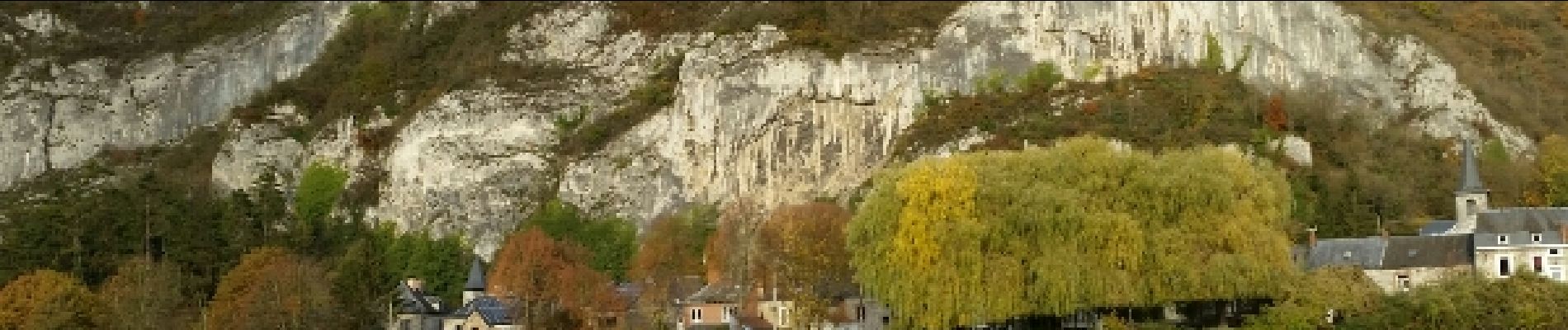
jolie randonnée