Tocht Stappen The Borough District of Drogheda - 2010-11-23 - 20h31m45 - Photo
 RVCrazy
RVCrazy

Gebruiker

© OpenStreetMap contributors
Lengte
Lengte
5,9 km
Max. hoogte
Max. hoogte
35 m
Positief hoogteverschil
54 m
Km-Effort
Km-Effort  
6,7 km
Min. hoogte
Min. hoogte
3 m
Negatief hoogteverschil
55 m
Boucle
Boucle
Ja
Datum van aanmaak :
2014-12-10 00:00:00.0
Laatste wijziging :
2014-12-10 00:00:00.0

(0 Bericht)

Stappen
Stappen
--
Moeilijkheid : Onbekend

Scan deze QR-code om de tocht te openen in de SityTrail-applicatie

Gratisgps-wandelapplicatie

Logo SityTrail SityTrail

IGN / Geografische instituten

SityTrail uit de App Store downloaden SityTrail uit Google Play downloaden

Logo SityTrail SityTrail World

De wereld gaat voor u open

SityTrail uit de App Store downloaden SityTrail uit Google Play downloaden SityTrail op Huawei AppGallery downloaden

Over ons

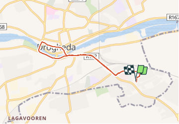
Tocht Stappen van 5,9 km beschikbaar op Onbekend, County Louth, The Borough District of Drogheda. Deze tocht wordt voorgesteld door RVCrazy.

Hoogteprofiel

Foto's

POI's

POI The Borough District of Drogheda - ashdale - Photo
RVCrazy
THE BOROUGH DISTRICT OF DROGHEDA 

Plaatsbepaling

Land:
Ireland
Regio :
Onbekend
Departement/Provincie :
County Louth
Gemeente :
The Borough District of Drogheda
Locatie:
St. Mary's
Vertrek:(Dec)
Vertrek:(UTM)
676557 ; 5954365 (29U) N.

Wandeltochten in de omgeving


Sluiten
Mijn abonnementen