


7,4 km | 8 km-effort


Gebruiker


Gratisgps-wandelapplicatie
 SityTrail
IGN / Geografische instituten
SityTrail World
De wereld gaat voor u open
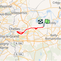
Tocht Mountainbike van 35 km beschikbaar op Île-de-France, Seine-et-Marne, Chessy. Deze tocht wordt voorgesteld door arsene77.
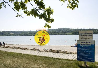
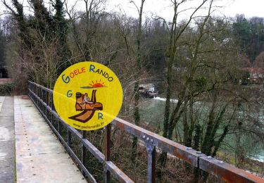
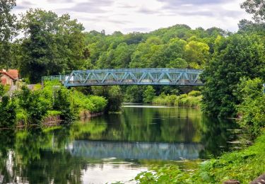
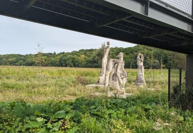
Aller et retour de Chessy à la base de loisirs de Vaires sur Marne, en passant par les bords de Marne, avec une boucle dans les hauteurs de Lagny sur Marne, et une boucle complète de la base de loisirs de Vaires sur Marne.
Le temps de parcours a été fait par temps de pluie, en novembre.
Stappen
Stappen

Stappen
Stappen
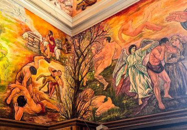
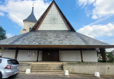
Te voet
Stappen

Stappen
Stappen
Stappen