


39 km | 49 km-effort

Gebruiker


Gratisgps-wandelapplicatie
 SityTrail
IGN / Geografische instituten
SityTrail World
De wereld gaat voor u open
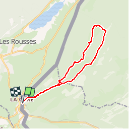
Tocht Stappen van 16,2 km beschikbaar op Waadland, District de Nyon, Saint-Cergue. Deze tocht wordt voorgesteld door tonymeyer.
Départ de la gare de La Cure.
Prendre la direction de L'Avant Poste et Les Coppettes.
Après 2.5km de montée, prendre le chemin qui part à gauche dans la forêt direction Le Noirmont.
Après 150m, tourner à gauche et plus loin encore à gauche sur la piste, puis après 100m à droite pour monter sur une piste large qui mène au Noirmont (1567m alt.)
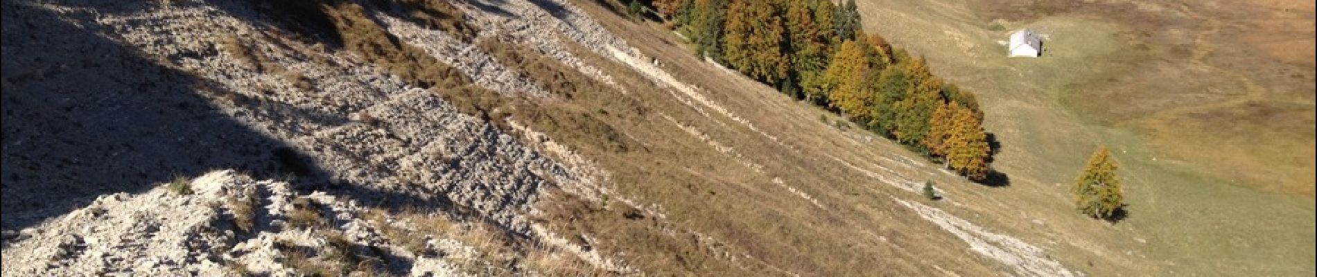
Suivre les balisages jaunes pour descendre dans la combe dans laquelle on reste pour monter jusqu'au bord du Creux.
Descendre dans le Creux par un sentier raide puis passer par la bergerie au fond avant de remonter rejoindre le sentier balisé qui part à droite pour Le Croue.
En dessous du Croue (ferme), tourner à droite pour suivre la combe qui monte d'abord puis descend en passant par L'Arzière et Les Coppettes pour revenir à La Cure.


Fiets

Stappen

Stappen

Stappen

Stappen

Te voet

Te voet

Stappen

Sneeuwschoenen
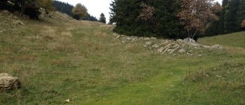
Très beau