


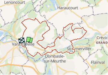

46 km | 53 km-effort


Gebruiker GUIDE


Gratisgps-wandelapplicatie
 SityTrail
IGN / Geografische instituten
SityTrail World
De wereld gaat voor u open
Tocht Mountainbike van 25 km beschikbaar op Grand Est, Meurthe-et-Moselle, Varangéville. Deze tocht wordt voorgesteld door fabwin.
Avec David, Séb & Maxime
très mauvais fléchage
ravito complet après 17km puis 4km plus loin???
pas de café à l'accueil
rien au retour sinon un (seul) jet pour le nettoyage des vtt
parcours pas intéressant
Elektrische fiets
Stappen
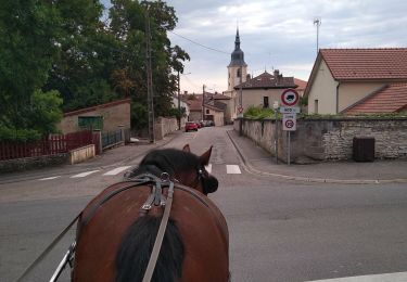
Huifkarwandeling

Stappen

Noords wandelen
Noords wandelen
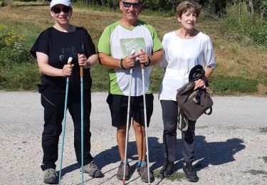
Noords wandelen

Stappen
Stappen