


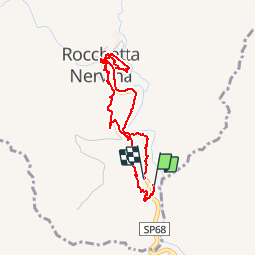


12,7 km | 20 km-effort

Gebruiker


Gratisgps-wandelapplicatie
 SityTrail
IGN / Geografische instituten
SityTrail World
De wereld gaat voor u open
Tocht Stappen van 3,9 km beschikbaar op Ligurië, Imperia, Rocchetta Nervina. Deze tocht wordt voorgesteld door jeanclaude12.
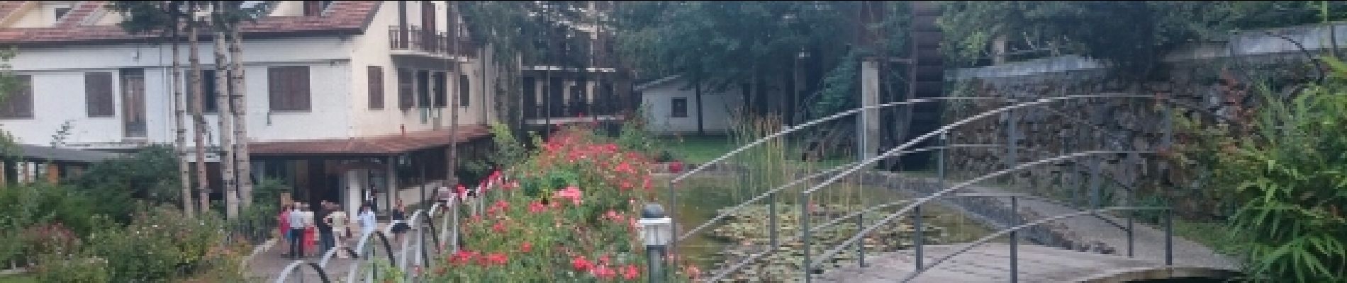
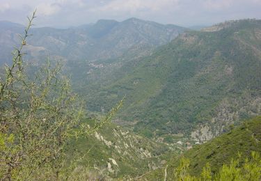
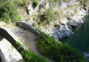
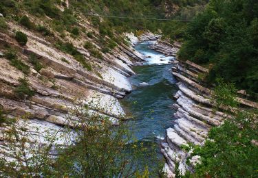
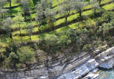
Quelques enjambées pour aller découvrir ce vieux bourg fortifié, cité en 1186 ("castrum barbairae") sous le Mont Abélio.


Te voet

Te voet
Te voet
Te voet

Te voet
Te voet
Te voet
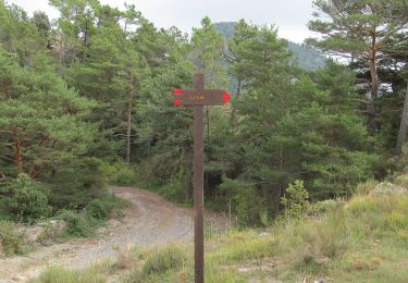
Te voet
Stappen