


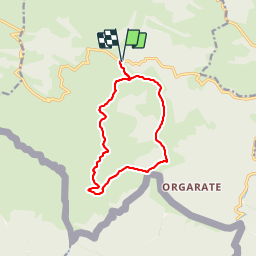


23 km | 41 km-effort

Gebruiker


Gratisgps-wandelapplicatie
 SityTrail
IGN / Geografische instituten
SityTrail World
De wereld gaat voor u open
Tocht Stappen van 12,4 km beschikbaar op Nieuw-Aquitanië, Pyrénées-Atlantiques, Lecumberry. Deze tocht wordt voorgesteld door DECHAMPD.
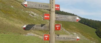
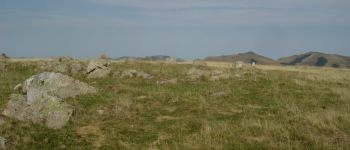
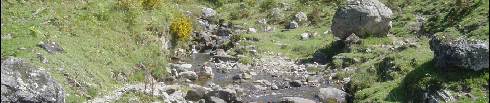
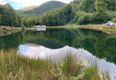
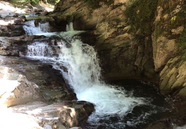
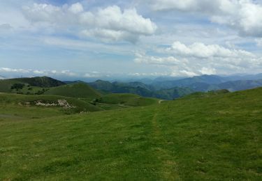
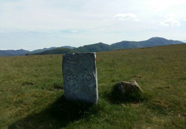
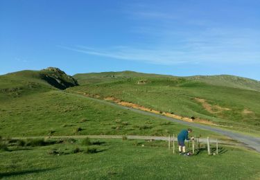
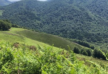
depuis le col d'Irau par la crête d'URCULU, le col Curutche, le col d'Oraaté et le site d'Occabé. parcours du 09/09/2015.


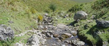
Stappen
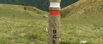
Stappen
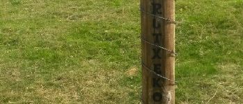
Stappen
Stappen
Stappen

Stappen
Stappen
Stappen

Stappen