


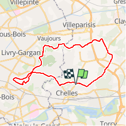


15 km | 16,7 km-effort

Gebruiker


Gratisgps-wandelapplicatie
 SityTrail
IGN / Geografische instituten
SityTrail World
De wereld gaat voor u open
Tocht Mountainbike van 29 km beschikbaar op Île-de-France, Seine-et-Marne, Chelles. Deze tocht wordt voorgesteld door destras.
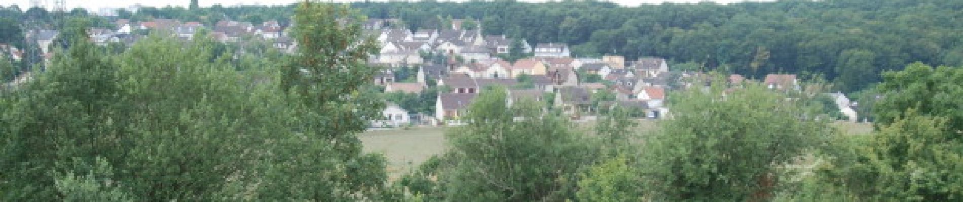
De Chelles rejoindre la piste de la Dhuys en passant par le bois de Brou et la suivre jusqu'au Raincy. Retour par la route.


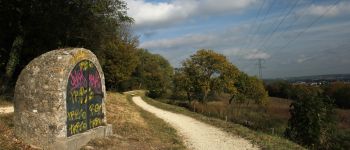
Stappen

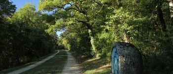
Stappen

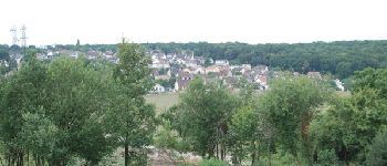
Stappen

Stappen

Stappen

Stappen

Stappen
Stappen

Te voet