


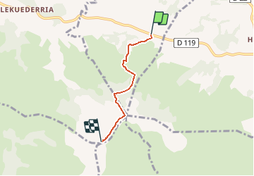

14,6 km | 27 km-effort


Gebruiker


Gratisgps-wandelapplicatie
 SityTrail
IGN / Geografische instituten
SityTrail World
De wereld gaat voor u open
Tocht Stappen van 3,2 km beschikbaar op Nieuw-Aquitanië, Pyrénées-Atlantiques, Mendionde. Deze tocht wordt voorgesteld door psyberty.
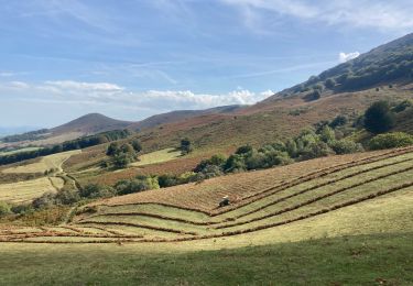
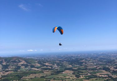
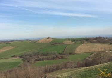
La vue est splendide et permet de voir l'océan par beau temps. On peut y voir le décollage de parapentistes.
Départ au parking de la base de loisirs.Retour par le même sentier ou par la route du train.
Stappen
Stappen
Stappen
Stappen
Stappen

Stappen
Paard
Stappen
Stappen