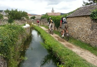
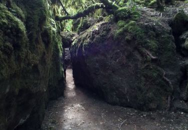
7,5 km | 9 km-effort
les canalettes
ledjai51
Gebruiker
Lengte
13,5 km
Max. hoogte
757 m
Positief hoogteverschil
160 m
Km-Effort
15,6 km
Min. hoogte
676 m
Negatief hoogteverschil
155 m
Boucle
Ja
Datum van aanmaak :
2015-09-01 00:00:00.0
Laatste wijziging :
2015-09-01 00:00:00.0
5h21
Moeilijkheid : Gemakkelijk
Gratisgps-wandelapplicatie
Over ons
Tocht Stappen van 13,5 km beschikbaar op Occitanië, Aveyron, Nant. Deze tocht wordt voorgesteld door ledjai51.
Beschrijving
Difficile à trouver
Plaatsbepaling
Land:
France
Regio :
Occitanië
Departement/Provincie :
Aveyron
Gemeente :
Nant
Locatie:
Unknown
Vertrek:(Dec)
Vertrek:(UTM)
519164 ; 4869720 (31T) N.
Opmerkingen
Wandeltochten in de omgeving
sources de Dourzon
Stappen
Heel gemakkelijk
(1)
L'Hospitalet-du-Larzac,
Occitanië,
Aveyron,
France
12,1 km | 15,8 km-effort
3h 23min
Ja
Descente des Canallettes à la source du Durzon
Stappen
Medium
Nant,
Occitanië,
Aveyron,
France
10,9 km | 14,5 km-effort
3h 17min
Ja
Canoles du Larzac
Noords wandelen
Heel gemakkelijk
(1)
Nant,
Occitanië,
Aveyron,
France
8,4 km | 10,1 km-effort
4h 58min
Ja
Cantobre 31-08-21
Stappen
Medium
Nant,
Occitanië,
Aveyron,
France
15,5 km | 23 km-effort
4h 14min
Ja
Roc des Nantais
Stappen
Medium
Nant,
Occitanië,
Aveyron,
France
9,3 km | 15,6 km-effort
4h 18min
Neen
la blaquererie (12) source du Dourzon par les canalettes
Stappen
Medium
(1)
La Couvertoirade,
Occitanië,
Aveyron,
France
19,9 km | 26 km-effort
5h 21min
Ja
vtt larzac
Mountainbike
Medium
(1)
La Couvertoirade,
Occitanië,
Aveyron,
France
30 km | 38 km-effort
3h 25min
Neen
Sce du D'ourson Léa Cabanelles
Stappen
Moeilijk
Nant,
Occitanië,
Aveyron,
France
13,2 km | 17,4 km-effort
3h 48min
Ja
Super rando, paysages et sites magnifiques