


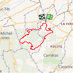


10,8 km | 16,7 km-effort


Gebruiker


Gratisgps-wandelapplicatie
 SityTrail
IGN / Geografische instituten
SityTrail World
De wereld gaat voor u open
Tocht Stappen van 15,3 km beschikbaar op Occitanië, Pyrénées-Orientales, Corbère-les-Cabanes. Deze tocht wordt voorgesteld door jeff66.
66 CORBÈRE-LES-CABANES - parking place de l'église Ste Marie Madeleine, cimetière, Montou, anc. Carrière, moto- cross - vue sur la plaine, Perpignan. La cote - au CIC somme291 m panorama a 360 degrés - pistes DFCI A72 et A71, le long du ravin de Montou - Serrat d'en Pouilh et d'en Vidal - Cana Llop - piste DFCI A70 - font de la Galillane - Roc d'en Coll - la Creu de la Beilleitte - P.e. DFCI 406, piste DFCI A67 - Fourtouli - font d'amont - Corbère de Dalt - piste DFCI A67 - vue sur le Montou, église St pierre del Bosc - château de CORBERE, font de la Canta, rue du château, Rue de la coma. Rue des écoles, mairie, église, rue de la rivière, cimetière - piste DFCI A66 - Escoute si Plou - CORBERE-les-CABANES, rue jean Pomarela, place de l'eglise


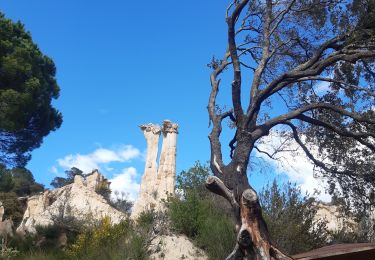
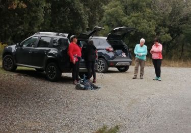
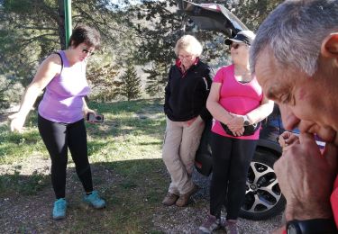
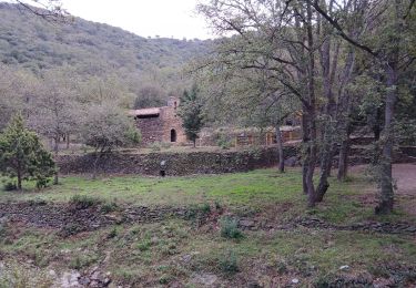
27 fotos in totaal. Klik op een foto om ze allemaal in de galerij weer te geven.

Stappen
Stappen
Stappen
Stappen

Stappen
Stappen

Stappen
Stappen

Stappen