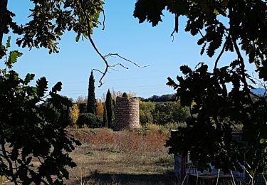
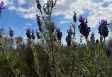
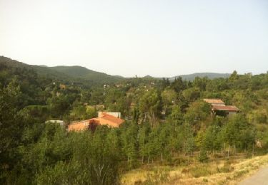
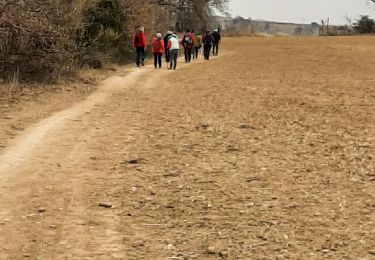
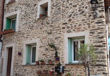
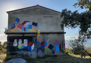
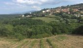
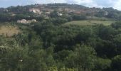
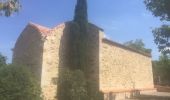
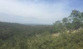
Tocht Stappen Tordères - 66 TORDÈRES - LLAURO, promenade en forêt méditerranéenne, cistes, genêts, bruyères. Arbousiers, chênes Lièges, chênes verts, pins - Photo

66 TORDÈRES - LLAURO, promenade en forêt méditerranéenne, cistes, genêts, bruyères. Arbousiers, chênes Lièges, chênes verts, pins

 jeff66
jeff66

Gebruiker

© OpenStreetMap contributors
Lengte
Lengte
11,9 km
Max. hoogte
Max. hoogte
476 m
Positief hoogteverschil
425 m
Km-Effort
Km-Effort  
17,5 km
Min. hoogte
Min. hoogte
205 m
Negatief hoogteverschil
423 m
Boucle
Boucle
Ja
Datum van aanmaak :
2015-08-27 00:00:00.0
Laatste wijziging :
2015-08-27 00:00:00.0

(1 Bericht)

Stappen
Stappen
2h23
Moeilijkheid : Moeilijk

Scan deze QR-code om de tocht te openen in de SityTrail-applicatie

Gratisgps-wandelapplicatie

Logo SityTrail SityTrail

IGN / Geografische instituten

SityTrail uit de App Store downloaden SityTrail uit Google Play downloaden

Logo SityTrail SityTrail World

De wereld gaat voor u open

SityTrail uit de App Store downloaden SityTrail uit Google Play downloaden SityTrail op Huawei AppGallery downloaden

Over ons

Tocht Stappen van 11,9 km beschikbaar op Occitanië, Pyrénées-Orientales, Tordères. Deze tocht wordt voorgesteld door jeff66.

Beschrijving

66 TORDÈRES - parking de la mairie. Place mayor, église, route de Fourques, D23, chemin de la Mona, cimetière, vue sur la plaine, Hortells del Costelats - vue sur LLAURO et les Albères, cabana del Moro, Fontaine des écureuil, piste DFCI AL17bis, Aguals, correc del coma, Torrer blanc - piste envol deltaplane - pylône ASF - correc del Torrer blanco - correc de la Selva - piste DFCI A12, puis A14, P.E.446, et piste A16 - coll del PUIG - piste DFCI A18 - correc dels Socarrats Vells - Lecolier - TORDÈRES

Hoogteprofiel

Foto's

Plaatsbepaling

Land:
France
Regio :
Occitanië
Departement/Provincie :
Pyrénées-Orientales
Gemeente :
Tordères
Locatie:
Unknown
Vertrek:(Dec)
Vertrek:(UTM)
479606 ; 4711995 (31T) N.

Opmerkingen

Gelieve in te loggen om een commentaar of een beoordeling achter te laten


Wandeltochten in de omgeving

Tocht Stappen Vivès - Le sentier de Vinés - Photo
Stappen
bernarb

Stappen

Gemakkelijk
(2)
Vivès, Occitanië, Pyrénées-Orientales, France
9,9 km | 13 km-effort
2h 54min
Ja
Tocht Stappen Fourques - Fourques  - Photo
Stappen
Fildesir

Stappen

Heel gemakkelijk
(1)
Fourques, Occitanië, Pyrénées-Orientales, France
14,2 km | 16,4 km-effort
5h 17min
Ja
Tocht Stappen Vivès - Vives llauro  - Photo
Stappen
GUIDE
antignacs

Stappen

Heel gemakkelijk
Vivès, Occitanië, Pyrénées-Orientales, France
8,2 km | 11,7 km-effort
2h 15min
Ja
Tocht Stappen Llauro - Col de Llauro- Roc del Quers - Photo
Stappen
perittel

Stappen

Gemakkelijk
(1)
Llauro, Occitanië, Pyrénées-Orientales, France
8,9 km | 12,9 km-effort
3h 11min
Ja
Tocht Stappen Montauriol - Montauriol : les points de vue. - Photo
Stappen
prehault

Stappen

Gemakkelijk
(4)
Montauriol, Occitanië, Pyrénées-Orientales, France
4 km | 5,3 km-effort
1h 8min
Ja
Tocht Stappen Fourques - fourques sentier des histoires  - Photo
Stappen
66Gribouille83

Stappen

Medium
Fourques, Occitanië, Pyrénées-Orientales, France
9,1 km | 10,9 km-effort
2h 47min
Ja
Tocht Stappen Fourques - fourques - Photo
Stappen
66Gribouille83

Stappen

Medium
Fourques, Occitanië, Pyrénées-Orientales, France
7,9 km | 9,3 km-effort
3h 13min
Ja
Tocht Stappen Vivès - mme sentier de Vives  - Photo
Stappen
GUIDE
stef789

Stappen

Gemakkelijk
Vivès, Occitanië, Pyrénées-Orientales, France
10,5 km | 13,6 km-effort
3h 26min
Ja
Tocht Stappen Vivès - vives - Photo
Stappen
66Gribouille83

Stappen

Medium
Vivès, Occitanië, Pyrénées-Orientales, France
9,1 km | 11,6 km-effort
3h 34min
Ja


Sluiten
Mijn abonnementen