5,8 km | 7,8 km-effort
2015-08-26 13h57m52
vtilmant
Gebruiker
Lengte
2 km
Max. hoogte
266 m
Positief hoogteverschil
27 m
Km-Effort
2,4 km
Min. hoogte
230 m
Negatief hoogteverschil
33 m
Boucle
Ja
Datum van aanmaak :
2015-08-26 00:00:00.0
Laatste wijziging :
2015-08-26 00:00:00.0
--
Moeilijkheid : Medium
Gratisgps-wandelapplicatie
Over ons
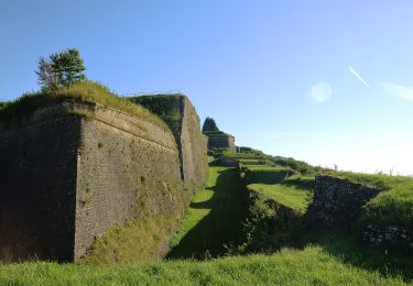
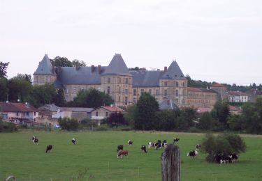
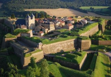
Tocht Via ferrata van 2 km beschikbaar op Grand Est, Meuse, Montmédy. Deze tocht wordt voorgesteld door vtilmant.
Plaatsbepaling
Land:
France
Regio :
Grand Est
Departement/Provincie :
Meuse
Gemeente :
Montmédy
Locatie:
Unknown
Vertrek:(Dec)
Vertrek:(UTM)
670902 ; 5487967 (31U) N.
Opmerkingen
Wandeltochten in de omgeving
Boucle de promenade autour de la citadelle de Montmédy
Te voet
Gemakkelijk
(1)
Montmédy,
Grand Est,
Meuse,
France
10,8 km | 13,6 km-effort
3h 5min
Neen
La Lorraine Gaumaise
Te voet
Zeer moeilijk
Villécloye,
Grand Est,
Meuse,
France
37 km | 46 km-effort
10h 26min
Neen
De Vauban à Charles Quint - Montmédy
Fiets
Medium
Montmédy,
Grand Est,
Meuse,
France
47 km | 59 km-effort
2h 45min
Ja
Remparts de la Citadelle de Montmédy - Fort Vauban
Stappen
Gemakkelijk
Montmédy,
Grand Est,
Meuse,
France
1,1 km | 1,3 km-effort
45min
Ja
SityTrail - De Vauban à Charles Quint - Montmédy
Elektrische fiets
Gemakkelijk
Montmédy,
Grand Est,
Meuse,
France
47 km | 59 km-effort
Onbekend
Ja
La Transgaumaise, étape 3, Montmédy - Orval
Stappen
Heel gemakkelijk
Montmédy,
Grand Est,
Meuse,
France
18,4 km | 24 km-effort
5h 0min
Neen