13 km | 22 km-effort
Toudous à la descente
zazibelle
Gebruiker
Lengte
5,2 km
Max. hoogte
2254 m
Positief hoogteverschil
16 m
Km-Effort
8 km
Min. hoogte
1442 m
Negatief hoogteverschil
807 m
Boucle
Neen
Datum van aanmaak :
2015-08-15 00:00:00.0
Laatste wijziging :
2015-08-15 00:00:00.0
2h09
Moeilijkheid : Gemakkelijk
Gratisgps-wandelapplicatie
Over ons
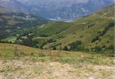
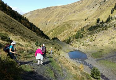
Tocht Stappen van 5,2 km beschikbaar op Occitanië, Hautes-Pyrénées, Azet. Deze tocht wordt voorgesteld door zazibelle.
Plaatsbepaling
Land:
France
Regio :
Occitanië
Departement/Provincie :
Hautes-Pyrénées
Gemeente :
Azet
Locatie:
Unknown
Vertrek:(Dec)
Vertrek:(UTM)
285881 ; 4738460 (31T) N.
Opmerkingen
Wandeltochten in de omgeving
Le refuge de la Soula
Stappen
Moeilijk
(1)
Loudenvielle,
Occitanië,
Hautes-Pyrénées,
France
5h 0min
Ja
col azet
Stappen
Gemakkelijk
(1)
Azet,
Occitanië,
Hautes-Pyrénées,
France
6,4 km | 9,2 km-effort
2h 10min
Ja
Val d'Aube
Stappen
Medium
(3)
Loudenvielle,
Occitanië,
Hautes-Pyrénées,
France
11,1 km | 19,5 km-effort
4h 19min
Ja
Cabana d'ourtigas
Stappen
Heel gemakkelijk
(1)
Loudenvielle,
Occitanië,
Hautes-Pyrénées,
France
14,2 km | 24 km-effort
6h 59min
Ja
GERM la cabane d Ourtiga G3 fait
Stappen
Medium
Germ,
Occitanië,
Hautes-Pyrénées,
France
10,6 km | 16,4 km-effort
5h 33min
Ja
Germ raquettes le 27 Janvier 2018-fait
Sneeuwschoenen
Medium
Germ,
Occitanië,
Hautes-Pyrénées,
France
5,3 km | 9,1 km-effort
5h 7min
Ja
lacs de Consaterre
Stappen
Moeilijk
(1)
Ens,
Occitanië,
Hautes-Pyrénées,
France
16,5 km | 34 km-effort
6h 56min
Ja
Au col d'Azet
Stappen
Medium
(1)
Azet,
Occitanië,
Hautes-Pyrénées,
France
7,3 km | 10,5 km-effort
2h 19min
Ja
J4 Néouvelle 2024 : Col d’Azet
Stappen
Medium
Azet,
Occitanië,
Hautes-Pyrénées,
France
13,7 km | 21 km-effort
4h 40min
Ja