


30 km | 34 km-effort


Gebruiker


Gratisgps-wandelapplicatie
 SityTrail
IGN / Geografische instituten
SityTrail World
De wereld gaat voor u open
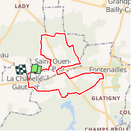
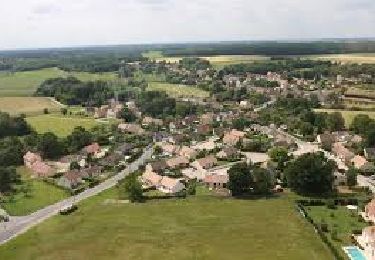
Tocht Stappen van 15,8 km beschikbaar op Île-de-France, Seine-et-Marne, La Chapelle-Gauthier. Deze tocht wordt voorgesteld door jctinchebray.
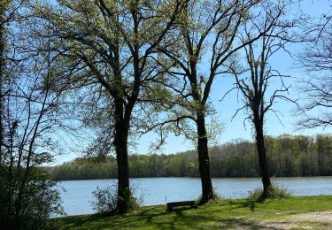
Randonnée de 16 km passant par la chapelle gauthier, Saint ouen en brie,les bois de bonbons, Fontenailles, Villefermoy.

Te voet
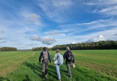
Stappen
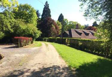
Stappen

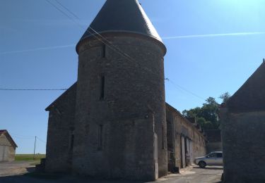
Stappen
Stappen
Stappen
Stappen
Stappen

Stappen