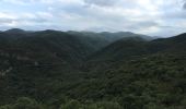
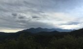
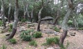
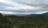
Tocht Stappen Maureillas-las-Illas - CERET 66 - les hauts de CERET - ballade en bas Vallespir - dolmen de la Siureda torre Bel Ull  - Photo

CERET 66 - les hauts de CERET - ballade en bas Vallespir - dolmen de la Siureda torre Bel Ull

 jeff66
jeff66

Gebruiker

© OpenStreetMap contributors
Lengte
Lengte
6,5 km
Max. hoogte
Max. hoogte
443 m
Positief hoogteverschil
259 m
Km-Effort
Km-Effort  
9,9 km
Min. hoogte
Min. hoogte
222 m
Negatief hoogteverschil
255 m
Boucle
Boucle
Ja
Datum van aanmaak :
2015-07-30 00:00:00.0
Laatste wijziging :
2015-07-30 00:00:00.0

(1 Bericht)

Stappen
Stappen
1h24
Moeilijkheid : Medium

Scan deze QR-code om de tocht te openen in de SityTrail-applicatie

Gratisgps-wandelapplicatie

Logo SityTrail SityTrail
IGN / Geografische instituten

SityTrail uit de App Store downloaden SityTrail uit Google Play downloaden

Logo SityTrail SityTrail World
De wereld gaat voor u open

SityTrail uit de App Store downloaden SityTrail uit Google Play downloaden SityTrail op Huawei AppGallery downloaden

Over ons

Tocht Stappen van 6,5 km beschikbaar op Occitanië, Pyrénées-Orientales, Maureillas-las-Illas. Deze tocht wordt voorgesteld door jeff66.

Beschrijving

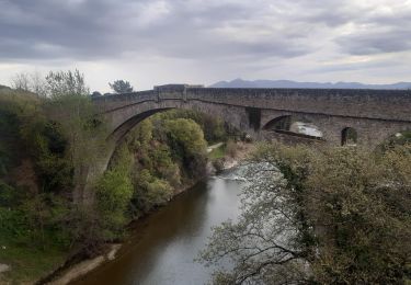
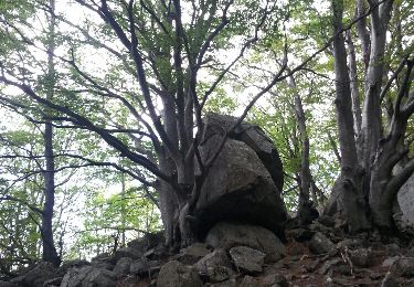
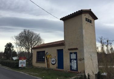
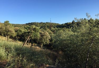
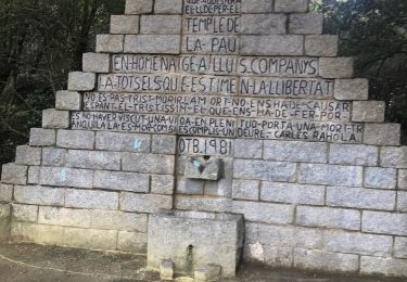
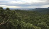
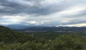
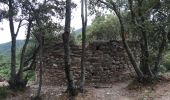
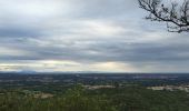
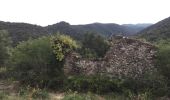
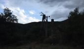
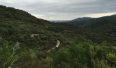
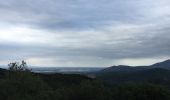
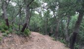
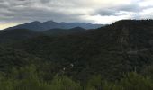
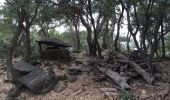
CERET 66 - les hauts de CERET - prendre route goudronnée qui serpente et monte entre les chênes verts - dolmen de la Siureda - puis suivre piste qui descend en très forte pente entre les chênes puis les châtaigniers - passer le Correc del Bruguer et à proximité du Pla del Bruguer - vue sur Maureillas Le Boulou - continuer sur la piste qui descend en lacets - ancienne mine de talc - mas Borrec ruines - prendre à gauche chemin escarpé puis à droite pour rejoindre sentier balisé a flan de montagne et en sous bois avec alternance de petites montées et descente - détour par point de vue à 360 degrés et la tour Bel Ull - vue superbe sur Vallespir Alberes Maureillas Plaine Corbières St-Jean CERET - la Calmilla - citerne DFCI

Hoogteprofiel

Foto's

POI's

POI Maureillas-las-Illas - Point 1 - Photo
jeff66
MAUREILLAS-LAS-ILLAS 
POI Maureillas-las-Illas - Point 2 - Photo
jeff66
MAUREILLAS-LAS-ILLAS 
POI Maureillas-las-Illas - Point 8 - Photo
jeff66
MAUREILLAS-LAS-ILLAS 
POI Maureillas-las-Illas - Point 9 - Photo
jeff66
MAUREILLAS-LAS-ILLAS 
POI Maureillas-las-Illas - Point 10 - Photo
jeff66
MAUREILLAS-LAS-ILLAS 
POI Maureillas-las-Illas - Point 12 - Photo
jeff66
MAUREILLAS-LAS-ILLAS 
POI Maureillas-las-Illas - Point 13 - Photo
jeff66
MAUREILLAS-LAS-ILLAS 
POI Maureillas-las-Illas - Point 15 - Photo
jeff66
MAUREILLAS-LAS-ILLAS 

Plaatsbepaling

Land:
France
Regio :
Occitanië
Departement/Provincie :
Pyrénées-Orientales
Gemeente :
Maureillas-las-Illas
Locatie:
Unknown
Vertrek:(Dec)
Vertrek:(UTM)
482665 ; 4701689 (31T) N.

Opmerkingen

Gelieve in te loggen om een commentaar of een beoordeling achter te laten


bonne randonnée. Difficile pour famille avec parents non initiés et adolescents en pleine forme...


Wandeltochten in de omgeving

Tocht Stappen Les Cluses - LES CLUSES 66 - Photo
Stappen
jeff66

Stappen

Gemakkelijk
(10)
Les Cluses, Occitanië, Pyrénées-Orientales, France
9,4 km | 12,8 km-effort
1h 50min
Ja
Tocht Stappen Céret - Céret pont du Diable . Saint Feriol (boucle sens aiguilles de la montre) - Photo
Stappen
GUIDE
stef789

Stappen

Gemakkelijk
(1)
Céret, Occitanië, Pyrénées-Orientales, France
8,5 km | 11,9 km-effort
3h 44min
Ja
Tocht Stappen Céret - Cretes de Ceret_Fontfrede - Photo
Stappen
force

Stappen

Medium
(2)
Céret, Occitanië, Pyrénées-Orientales, France
8,3 km | 14,1 km-effort
3h 14min
Ja
Tocht Stappen Saint-Jean-Pla-de-Corts - 66 ST-JEAN-PLA-DE-CORTS, promenade autour du Tech, jusqu'au BOULOU  - Photo
Stappen
jeff66

Stappen

Gemakkelijk
(1)
Saint-Jean-Pla-de-Corts, Occitanië, Pyrénées-Orientales, France
7,9 km | 8,8 km-effort
1h 18min
Ja
Tocht Stappen Le Boulou - LES THERMES DU BOULOU - 66 - Albera viva - PUIG de l'Estella - Photo
Stappen
jeff66

Stappen

Medium
(2)
Le Boulou, Occitanië, Pyrénées-Orientales, France
7,3 km | 11,4 km-effort
1h 32min
Ja
Tocht Stappen Céret - Ermitage de saint ferreol - Photo
Stappen
philippe66

Stappen

Medium
(1)
Céret, Occitanië, Pyrénées-Orientales, France
7,6 km | 10,4 km-effort
1h 59min
Ja
Tocht Stappen Céret - blacon de ceret via la cascade - Photo
Stappen
philippe66

Stappen

Medium
(3)
Céret, Occitanië, Pyrénées-Orientales, France
10,1 km | 14,4 km-effort
3h 9min
Ja
Tocht Stappen Les Cluses - LES CLUSES 66 - LE PERTHUS -  - Photo
Stappen
jeff66

Stappen

Medium
(2)
Les Cluses, Occitanië, Pyrénées-Orientales, France
14,4 km | 20 km-effort
2h 57min
Ja
Tocht Stappen Maureillas-las-Illas - Las Illas / La Vajol / col de Manrella  - Photo
Stappen
robertperello

Stappen

Moeilijk
Maureillas-las-Illas, Occitanië, Pyrénées-Orientales, France
13,1 km | 18,9 km-effort
3h 45min
Ja


Sluiten
Mijn abonnementen