


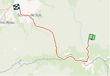


5,7 km | 12,1 km-effort


Gebruiker


Gratisgps-wandelapplicatie
 SityTrail
IGN / Geografische instituten
SityTrail World
De wereld gaat voor u open
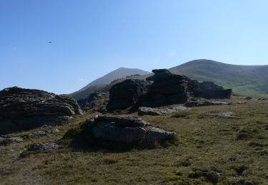
Tocht Stappen van 23 km beschikbaar op Sibiu, Onbekend, Avrig. Deze tocht wordt voorgesteld door heb.
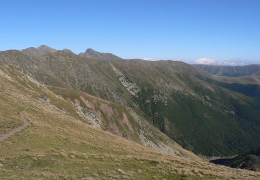
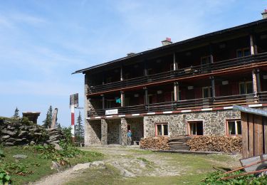
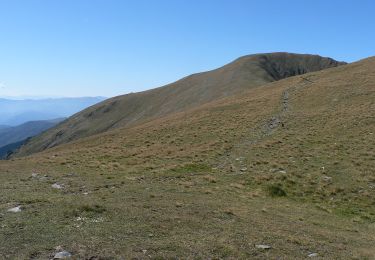
Barcaciu (1550)> ° (3,84km) >Portita Avrigului> lac Afrig Sura (2281m)> I (4.8km) Saua Suru > (11,53km) > Apa Cumpanita>Saua Suralei (2113)> > Refugiul Suru > Muchia Moa?ei >-Sebe?u de Sus-> Sebesus de Jos
Te voet
Te voet
Te voet
Te voet
Te voet

Te voet

Stappen
Stappen