21 km | 24 km-effort
conches-ferrière sur risles
fredtruc27
Gebruiker
Lengte
47 km
Max. hoogte
192 m
Positief hoogteverschil
469 m
Km-Effort
53 km
Min. hoogte
114 m
Negatief hoogteverschil
469 m
Boucle
Ja
Datum van aanmaak :
2015-07-23 00:00:00.0
Laatste wijziging :
2015-07-23 00:00:00.0
3h26
Moeilijkheid : Gemakkelijk
Gratisgps-wandelapplicatie
Over ons
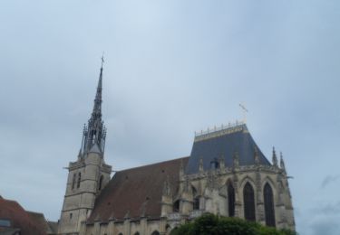
Tocht Mountainbike van 47 km beschikbaar op Normandië, Eure, Conches-en-Ouche. Deze tocht wordt voorgesteld door fredtruc27.
Plaatsbepaling
Land:
France
Regio :
Normandië
Departement/Provincie :
Eure
Gemeente :
Conches-en-Ouche
Locatie:
Unknown
Vertrek:(Dec)
Vertrek:(UTM)
349282 ; 5424340 (31U) N.
Opmerkingen
Wandeltochten in de omgeving
2020_02_21_Circuit de Nagel
Stappen
Gemakkelijk
(1)
Nagel-Séez-Mesnil,
Normandië,
Eure,
France
11 km | 12,4 km-effort
2h 20min
Ja
conches
Stappen
Heel gemakkelijk
(1)
Conches-en-Ouche,
Normandië,
Eure,
France
13,9 km | 16,6 km-effort
Onbekend
Ja
La vallée de rouloir
Stappen
Gemakkelijk
Conches-en-Ouche,
Normandië,
Eure,
France
11,6 km | 13,8 km-effort
3h 23min
Ja
Conches en Ouche
Te voet
Gemakkelijk
Conches-en-Ouche,
Normandië,
Eure,
France
21 km | 25 km-effort
Onbekend
Ja
conches-ferrière sur risles
Mountainbike
Gemakkelijk
Conches-en-Ouche,
Normandië,
Eure,
France
47 km | 53 km-effort
3h 26min
Ja
les boscherons
Paard
Gemakkelijk
La Croisille,
Normandië,
Eure,
France
18 km | 22 km-effort
2h 22min
Ja
Conches en Ouche, Chanteloup, Collandres,vieux Conches 24 kms
Stappen
Zeer moeilijk
Conches-en-Ouche,
Normandië,
Eure,
France
24 km | 27 km-effort
6h 7min
Ja
Sur la route de Compostelle autour de Conches 11 kms
Stappen
Moeilijk
Conches-en-Ouche,
Normandië,
Eure,
France
10,7 km | 12,8 km-effort
2h 55min
Ja