


14,5 km | 29 km-effort

Gebruiker GUIDE


Gratisgps-wandelapplicatie
 SityTrail
IGN / Geografische instituten
SityTrail World
De wereld gaat voor u open
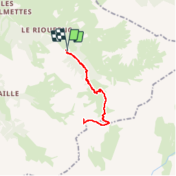
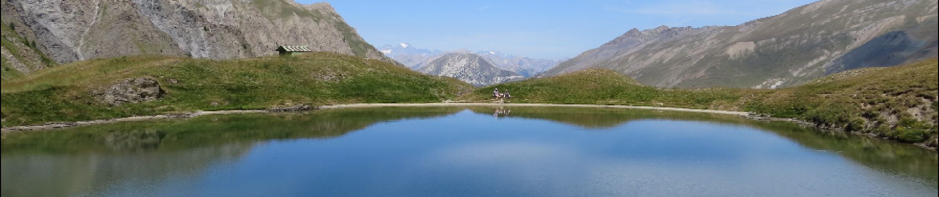
Tocht Stappen van 13 km beschikbaar op Provence-Alpes-Côte d'Azur, Hautes-Alpes, Ceillac. Deze tocht wordt voorgesteld door amiral13.
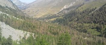
une belle randonnée effectuée en famille jusqu'au col de Clausis (fillette de 7 ans).
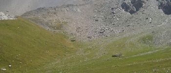
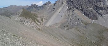
à partir du col le sentier se transforme en sente ou avoir le pieds montagnard peu facilité la progression


Stappen

Stappen

Andere activiteiten

Stappen
Stappen

Stappen
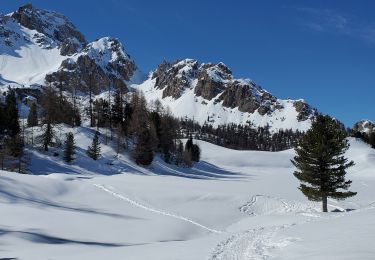
Sneeuwschoenen
Sneeuwschoenen
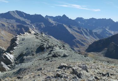
Stappen