


25 km | 35 km-effort


Gebruiker


Gratisgps-wandelapplicatie
 SityTrail
IGN / Geografische instituten
SityTrail World
De wereld gaat voor u open
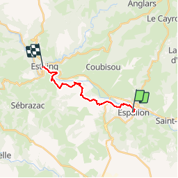
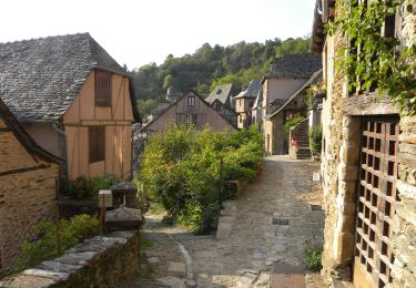
Tocht Stappen van 13,8 km beschikbaar op Occitanië, Aveyron, Espalion. Deze tocht wordt voorgesteld door uru2010.
Chemin de St Jacques de Compostelle
Espalion -> Estaing


Stappen

Stappen
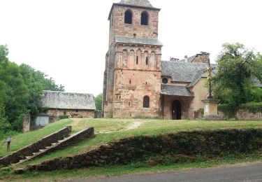
Stappen
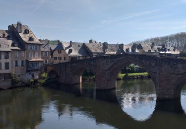
Stappen

Te voet
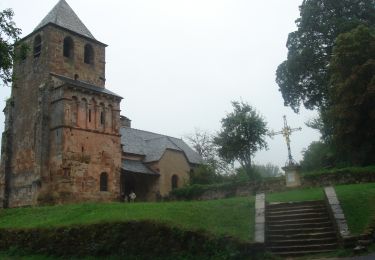
Stappen

Stappen

Stappen
Stappen