


6,2 km | 6,6 km-effort

Tous les sentiers balisés d’Europe GUIDE+


Gratisgps-wandelapplicatie
 SityTrail
IGN / Geografische instituten
SityTrail World
De wereld gaat voor u open
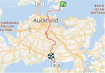
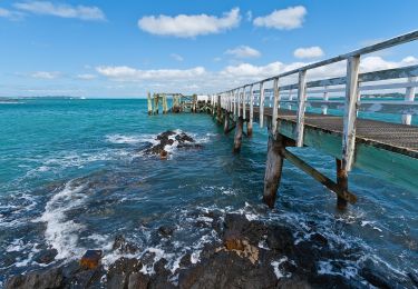
Tocht Te voet van 19,1 km beschikbaar op Auckland, Onbekend, Devonport-Takapuna. Deze tocht wordt voorgesteld door SityTrail - itinéraires balisés pédestres.
"official" distance does not include ferry crossing of about 4 km from Devonport to CBD


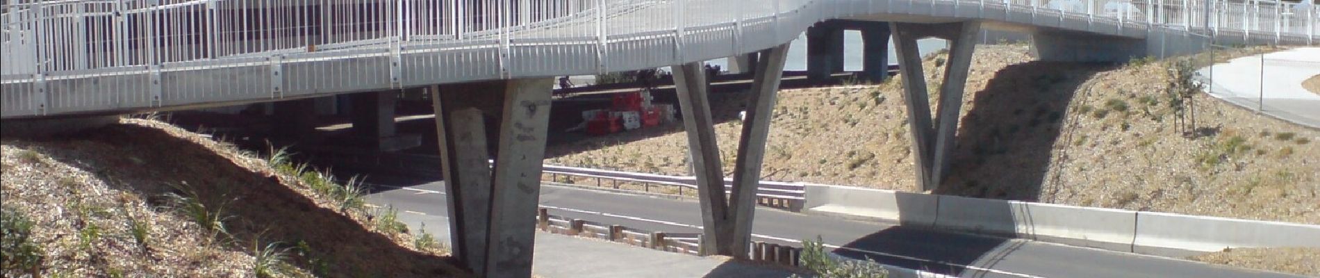
Te voet

Te voet

Te voet
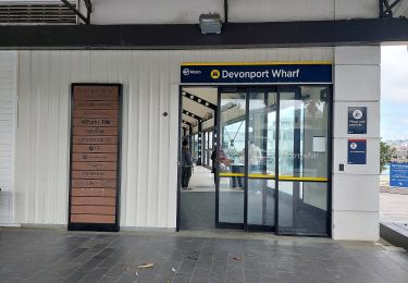
Te voet
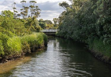
Te voet
Te voet