


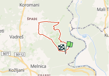

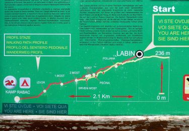
4,5 km | 10,5 km-effort

Tous les sentiers balisés d’Europe GUIDE+


Gratisgps-wandelapplicatie
 SityTrail
IGN / Geografische instituten
SityTrail World
De wereld gaat voor u open
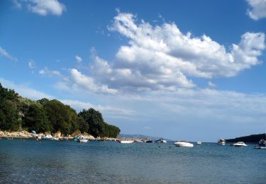
Tocht Te voet van 5,4 km beschikbaar op Onbekend, Istarska županija. Deze tocht wordt voorgesteld door SityTrail - itinéraires balisés pédestres.
Tocht aangemaakt door Istra Trails.
Symbool: green bar on yellow ground
Website: http://www.istria-trails.com/hr/staze/trail-staze/135-ch-0?&l_over=1


Te voet
Te voet
Te voet
Te voet

Te voet
Te voet
Te voet
Te voet
Te voet