


5,5 km | 6,1 km-effort

Tous les sentiers balisés d’Europe GUIDE+


Gratisgps-wandelapplicatie
 SityTrail
IGN / Geografische instituten
SityTrail World
De wereld gaat voor u open
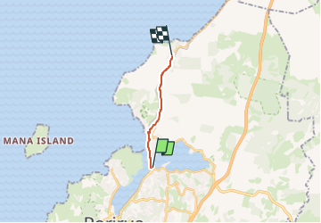
Tocht Te voet van 8,4 km beschikbaar op Wellington, Porirua City. Deze tocht wordt voorgesteld door SityTrail - itinéraires balisés pédestres.
Tocht aangemaakt door Porirua City Council.
Website: https://poriruacity.govt.nz/discover-porirua/walking-biking/walk/top-10-walks/
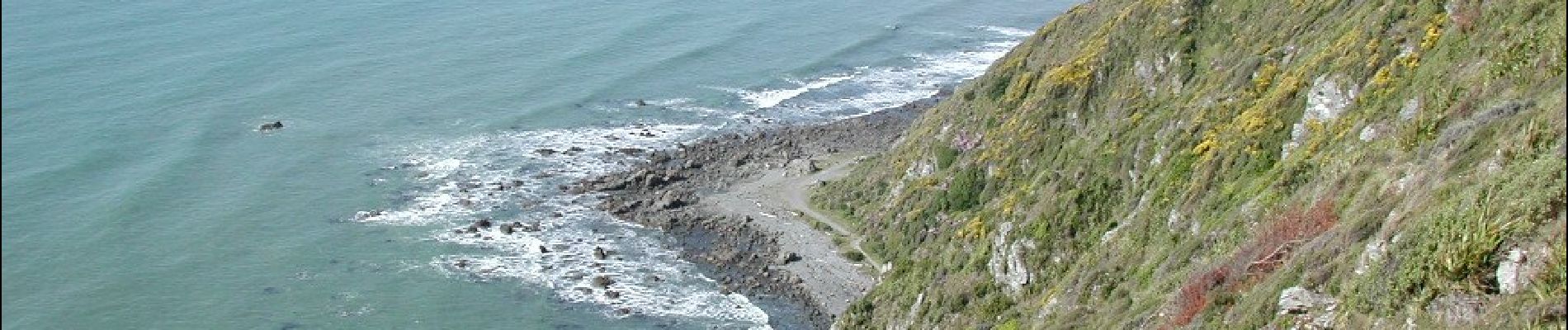
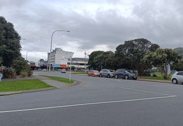
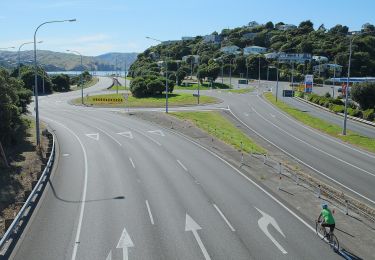
 shared path - Photo 1")
 shared path - Photo 2")
 shared path - Photo 3")
 shared path - Photo 4")
 shared path - Photo 5")
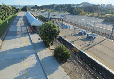
 shared path - Photo 6")
 shared path - Photo 7")
 shared path - Photo 8")
 shared path - Photo 9")
 shared path - Photo 10")
Te voet
Te voet
Te voet
Te voet

Te voet
Te voet