


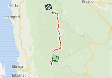

17,7 km | 22 km-effort

Tous les sentiers balisés d’Europe GUIDE+


Gratisgps-wandelapplicatie
 SityTrail
IGN / Geografische instituten
SityTrail World
De wereld gaat voor u open
Tocht Te voet van 13,4 km beschikbaar op Onbekend, Ličko-senjska županija. Deze tocht wordt voorgesteld door SityTrail - itinéraires balisés pédestres.
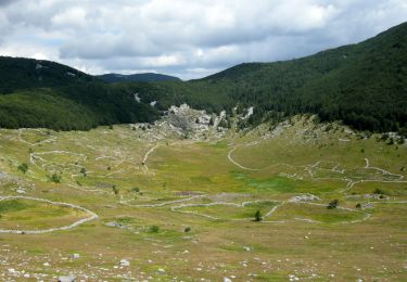
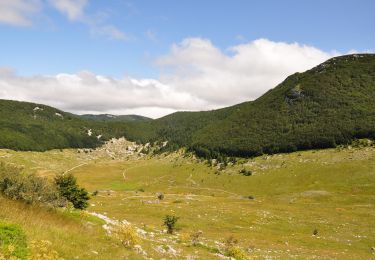
Rožanski kukovi and Hajdučki kukovi are a unique combination of rocky peaks in the middle of Northern Velebit, and one of the most beautiful karst areas in our country. This picturesque karst spectacle created by nature in this place is protected as a strict nature reserve – an even stricter ...
Website: https://trail.viadinarica.com/tour/hiking/15957577/


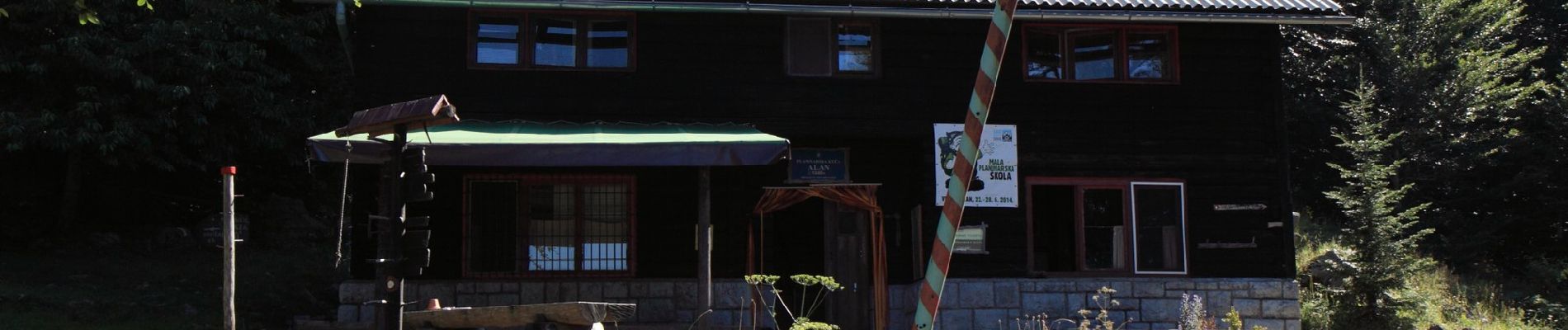
Te voet
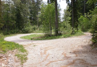
Te voet
Te voet