![](/images/other/stat-length.png)
![Tocht Te voet Choceň - NS Dívčí doly - Photo](https://media.geolcdn.com/t/1900/400/0bcec713-5f83-4b6a-aab0-8a056fd60769.jpeg&format=pjpeg&maxdim=2)
NS Dívčí doly
SityTrail - itinéraires balisés pédestres
Tous les sentiers balisés d’Europe GUIDE+
![Lengte](/images/other/stat-length.png)
Lengte
3,9 km
![Max. hoogte](https://static1.geolcdn.com/siteimages/upload/files/1508320355ic_sort_altitude_max_24dp.png)
Max. hoogte
356 m
![Positief hoogteverschil](https://static1.geolcdn.com/siteimages/upload/files/1508320355ic_sort_den_pos_24dp.png)
Positief hoogteverschil
89 m
![Km-Effort](/images/other/stat-length.png)
Km-Effort
5 km
![Min. hoogte](https://static1.geolcdn.com/siteimages/upload/files/1508320355ic_sort_altitude_min_24dp.png)
Min. hoogte
298 m
![Negatief hoogteverschil](https://static1.geolcdn.com/siteimages/upload/files/1508320355ic_sort_den_neg_24dp.png)
Negatief hoogteverschil
89 m
![Boucle](https://static1.geolcdn.com/siteimages/upload/files/16400158638029165_repeat_loop_refresh_sync_direction_icon.png)
Boucle
Ja
Markering
Datum van aanmaak :
2025-02-07 14:33:37.155
Laatste wijziging :
2025-02-07 14:33:37.155
![Te voet](https://static1.geolcdn.com/sitytour/trail-icons/100.png)
1h08
Moeilijkheid : Gemakkelijk
![Scan deze QR-code om de tocht te openen in de SityTrail-applicatie](https://capi.geolives.com/qq0zvz2zws4bq2lad0pu/sitytour/trails/4345875/qr.png?size=200)
Gratisgps-wandelapplicatie
Over ons
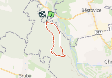
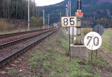
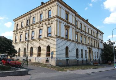
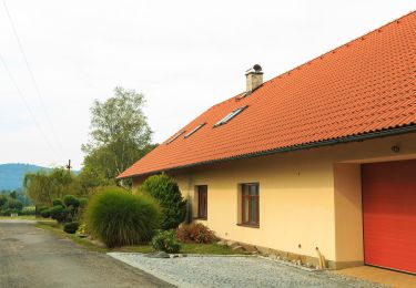
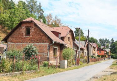
Tocht Te voet van 3,9 km beschikbaar op Noordoost, Pardubický kraj, Choceň. Deze tocht wordt voorgesteld door SityTrail - itinéraires balisés pédestres.
Beschrijving
Tocht aangemaakt door cz:KČT.
Plaatsbepaling
Land:
Czech Republic
Regio :
Noordoost
Departement/Provincie :
Pardubický kraj
Gemeente :
Choceň
Locatie:
Unknown
Vertrek:(Dec)
Vertrek:(UTM)
584994 ; 5541101 (33U) N.
Opmerkingen
Wandeltochten in de omgeving
![Tocht Te voet Veliny - Naučná stezka rytíře Velingera - Photo](https://media.geolcdn.com/t/375/260/b2a4504b-4d31-41bf-ab67-463221cb32b7.jpeg&format=jpg&maxdim=2)
![Te voet Te voet](https://static1.geolcdn.com/sitytour/trail-icons/100.png)
Naučná stezka rytíře Velingera
Te voet
Gemakkelijk
Veliny,
Noordoost,
Pardubický kraj,
Czech Republic
![](/images/other/stat-length.png)
4,5 km | 5,3 km-effort
1h 12min
![](https://static1.geolcdn.com/siteimages/upload/files/16400158638029165_repeat_loop_refresh_sync_direction_icon.png)
Neen
![Tocht Te voet Holice - CZ-4243 - Photo](https://media.geolcdn.com/t/375/260/44aaae75-ea87-4e90-8e7c-5cfea5f7e555.jpeg&format=jpg&maxdim=2)
![Te voet Te voet](https://static1.geolcdn.com/sitytour/trail-icons/100.png)
CZ-4243
Te voet
Gemakkelijk
Holice,
Noordoost,
Pardubický kraj,
Czech Republic
![](/images/other/stat-length.png)
3,3 km | 4 km-effort
55min
![](https://static1.geolcdn.com/siteimages/upload/files/16400158638029165_repeat_loop_refresh_sync_direction_icon.png)
Ja
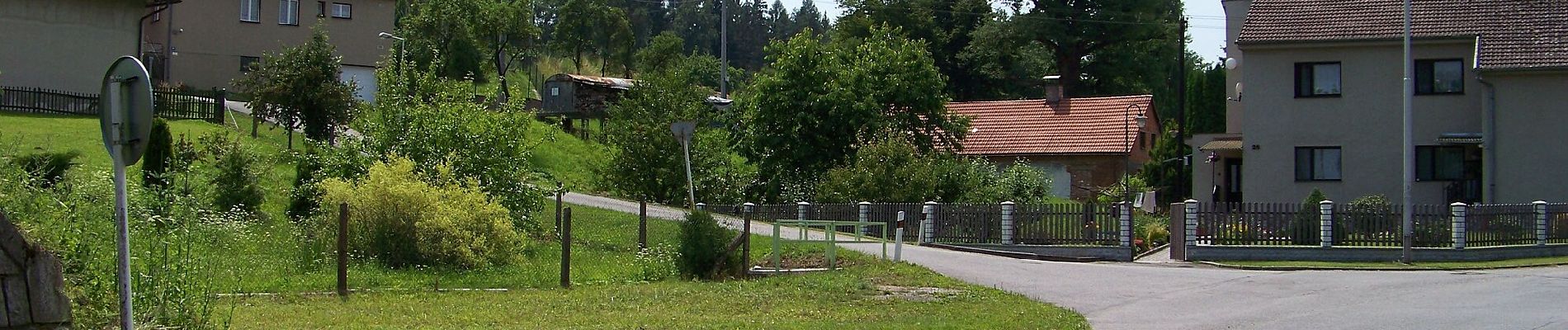
![Tocht Te voet Záchlumí - [M] Litice nad Orlicí - Žamberk - Photo](https://media.geolcdn.com/t/375/260/06e32d5b-ad68-47cd-bbfd-bb17859dd844.jpeg&format=jpg&maxdim=2)
![Te voet Te voet](https://static1.geolcdn.com/sitytour/trail-icons/100.png)
[M] Litice nad Orlicí - Žamberk
Te voet
Gemakkelijk
Záchlumí,
Noordoost,
Pardubický kraj,
Czech Republic
![](/images/other/stat-length.png)
9,6 km | 12,1 km-effort
2h 45min
![](https://static1.geolcdn.com/siteimages/upload/files/16400158638029165_repeat_loop_refresh_sync_direction_icon.png)
Neen
![Tocht Te voet Orlické Podhůří - NS po stopách živé vody - Photo](https://media.geolcdn.com/t/375/260/5194f7cf-b48e-4736-965d-7f4bcd64f7bf.jpeg&format=jpg&maxdim=2)
![Te voet Te voet](https://static1.geolcdn.com/sitytour/trail-icons/100.png)
NS po stopách živé vody
Te voet
Gemakkelijk
Orlické Podhůří,
Noordoost,
Pardubický kraj,
Czech Republic
![](/images/other/stat-length.png)
7,3 km | 10,8 km-effort
2h 27min
![](https://static1.geolcdn.com/siteimages/upload/files/16400158638029165_repeat_loop_refresh_sync_direction_icon.png)
Ja
![Tocht Te voet Žamberk - Výletní okruh městem - Photo](https://media.geolcdn.com/t/375/260/6acd1579-fe43-4d48-b6dd-b843c1fe193b.jpeg&format=jpg&maxdim=2)
![Te voet Te voet](https://static1.geolcdn.com/sitytour/trail-icons/100.png)
Výletní okruh městem
Te voet
Gemakkelijk
Žamberk,
Noordoost,
Pardubický kraj,
Czech Republic
![](/images/other/stat-length.png)
8,9 km | 10,6 km-effort
2h 24min
![](https://static1.geolcdn.com/siteimages/upload/files/16400158638029165_repeat_loop_refresh_sync_direction_icon.png)
Ja
![Tocht Te voet Libchavy - NS Údolím Sejfů - Photo](https://media.geolcdn.com/t/375/260/99be47a7-1707-4bb6-a2ff-8c904a045a11.jpeg&format=jpg&maxdim=2)
![Te voet Te voet](https://static1.geolcdn.com/sitytour/trail-icons/100.png)
NS Údolím Sejfů
Te voet
Gemakkelijk
Libchavy,
Noordoost,
Pardubický kraj,
Czech Republic
![](/images/other/stat-length.png)
3,9 km | 5,1 km-effort
1h 9min
![](https://static1.geolcdn.com/siteimages/upload/files/16400158638029165_repeat_loop_refresh_sync_direction_icon.png)
Neen
![Tocht Te voet Řetová - NS Okolo Řetové - Photo](https://media.geolcdn.com/t/375/260/e9cbc577-d7db-4570-967f-fbb8bd2a6e49.jpeg&format=jpg&maxdim=2)
![Te voet Te voet](https://static1.geolcdn.com/sitytour/trail-icons/100.png)
NS Okolo Řetové
Te voet
Gemakkelijk
Řetová,
Noordoost,
Pardubický kraj,
Czech Republic
![](/images/other/stat-length.png)
9,6 km | 14,1 km-effort
3h 12min
![](https://static1.geolcdn.com/siteimages/upload/files/16400158638029165_repeat_loop_refresh_sync_direction_icon.png)
Ja
![Tocht Te voet Skuteč - NS Žulová stezka - Photo](https://media.geolcdn.com/t/375/260/b8cc7ccb-a493-49ff-bf12-71443882b9a4.jpeg&format=jpg&maxdim=2)
![Te voet Te voet](https://static1.geolcdn.com/sitytour/trail-icons/100.png)
NS Žulová stezka
Te voet
Gemakkelijk
Skuteč,
Noordoost,
Pardubický kraj,
Czech Republic
![](/images/other/stat-length.png)
3,6 km | 4,7 km-effort
1h 4min
![](https://static1.geolcdn.com/siteimages/upload/files/16400158638029165_repeat_loop_refresh_sync_direction_icon.png)
Ja
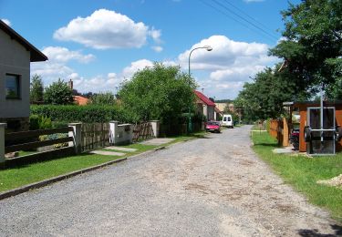
![Tocht Te voet Brandýs nad Orlicí - [Ž] Brandýs nad Orlicí - okruh - Photo](https://media.geolcdn.com/t/375/260/a13f2b27-51e8-4d6a-a5e1-59cd4671df46.jpeg&format=jpg&maxdim=2)
![Te voet Te voet](https://static1.geolcdn.com/sitytour/trail-icons/100.png)
[Ž] Brandýs nad Orlicí - okruh
Te voet
Gemakkelijk
Brandýs nad Orlicí,
Noordoost,
Pardubický kraj,
Czech Republic
![](/images/other/stat-length.png)
3,2 km | 4,6 km-effort
1h 3min
![](https://static1.geolcdn.com/siteimages/upload/files/16400158638029165_repeat_loop_refresh_sync_direction_icon.png)
Ja