


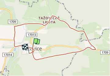

7,3 km | 10,4 km-effort

Tous les sentiers balisés d’Europe GUIDE+


Gratisgps-wandelapplicatie
 SityTrail
IGN / Geografische instituten
SityTrail World
De wereld gaat voor u open
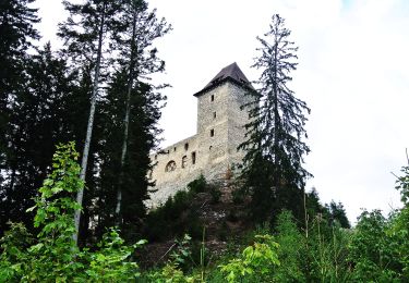
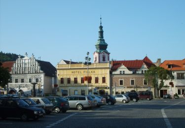
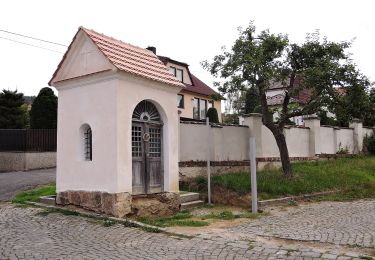
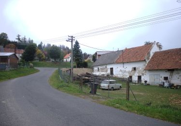
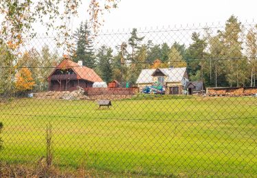
Tocht Te voet van 4,6 km beschikbaar op Zuidwest, Zuid-Bohemen, Volenice. Deze tocht wordt voorgesteld door SityTrail - itinéraires balisés pédestres.
Tocht aangemaakt door cz:KČT.


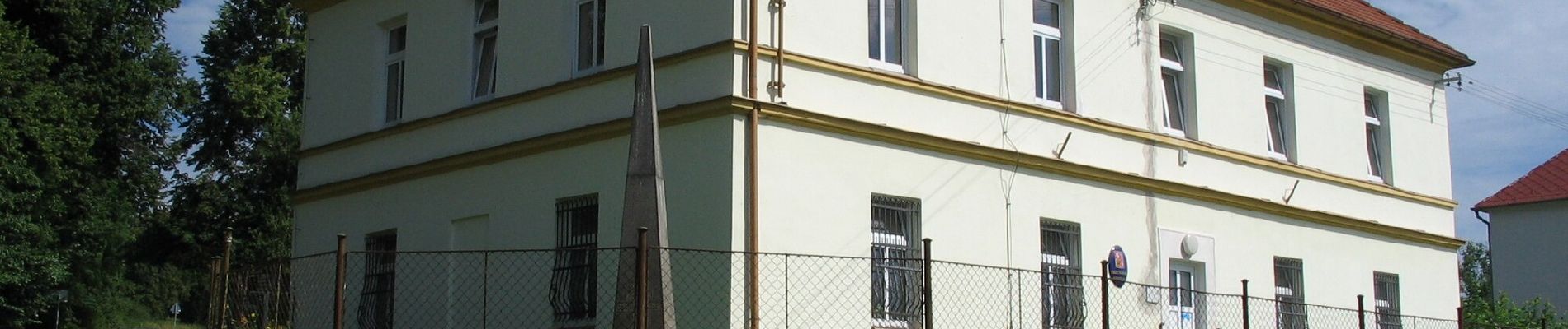
Te voet
Te voet
Te voet
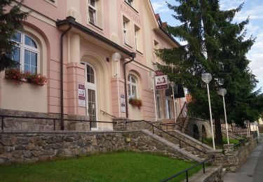
Te voet
Te voet
Te voet
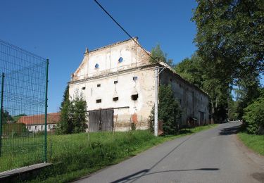
![Tocht Te voet Sedlice - [Ž] Láz - Milavy - sedlická obora - Photo](https://media.geolcdn.com/t/375/260/6a91fed6-3737-44c3-9d07-3733ec90ba53.jpeg&format=jpg&maxdim=2)
Te voet
Te voet
Te voet