


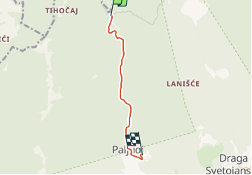

4,3 km | 6,2 km-effort


Tous les sentiers balisés d’Europe GUIDE+


Gratisgps-wandelapplicatie
 SityTrail
IGN / Geografische instituten
SityTrail World
De wereld gaat voor u open
Tocht Te voet van 3,5 km beschikbaar op Onbekend, Zagrebačka županija. Deze tocht wordt voorgesteld door SityTrail - itinéraires balisés pédestres.
Tocht aangemaakt door HPD Stanko Kempny, Zagreb.
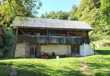
Bukovac (a.p.) - Svetojanske toplice - Paljugi - (X) Brajka s putom iz Višoševićevog mlina za Zečak

Te voet

Te voet
Te voet
Te voet
Te voet
Te voet
Te voet

Te voet
Te voet