


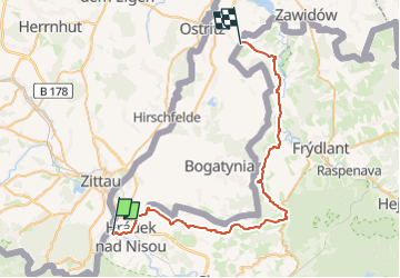

22 km | 25 km-effort

Tous les sentiers balisés d’Europe GUIDE+


Gratisgps-wandelapplicatie
 SityTrail
IGN / Geografische instituten
SityTrail World
De wereld gaat voor u open
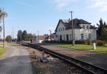
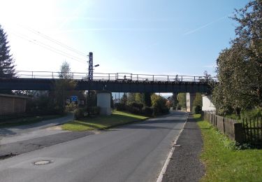
Tocht Te voet van 41 km beschikbaar op Noordoost, Liberecký kraj, Hrádek nad Nisou. Deze tocht wordt voorgesteld door SityTrail - itinéraires balisés pédestres.
Tocht aangemaakt door cz:KČT.


Te voet
Te voet
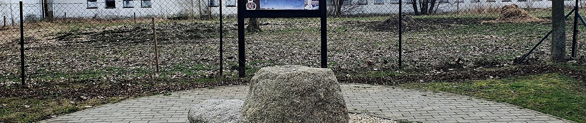
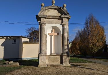
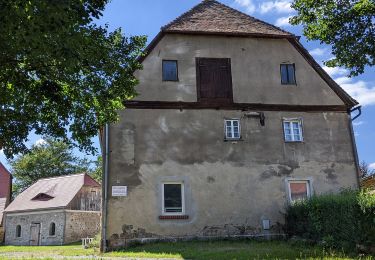
![Tocht Te voet Hrádek nad Nisou - [M] Hrádek nad Nisou (okruh) - Photo](https://media.geolcdn.com/t/375/260/6f4bfcbc-88e0-401e-bed7-00090c8df757.jpeg&format=jpg&maxdim=2)
Te voet
Te voet
Te voet
Te voet
Te voet
Te voet
Te voet