


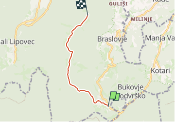

4,3 km | 6,2 km-effort

Tous les sentiers balisés d’Europe GUIDE+


Gratisgps-wandelapplicatie
 SityTrail
IGN / Geografische instituten
SityTrail World
De wereld gaat voor u open
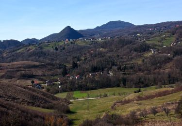
Tocht Te voet van 3,7 km beschikbaar op Onbekend, Zagrebačka županija. Deze tocht wordt voorgesteld door SityTrail - itinéraires balisés pédestres.
Tocht aangemaakt door HPD Željezničar, Zagreb.
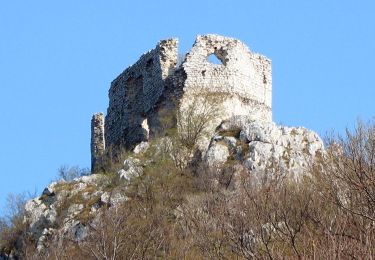
(X) željezno raspelo - Prekrižje - vrh Rancerje - sedlo Preseka - Pl. dom na Oštrcu


Te voet
Te voet
Te voet

Te voet
Te voet
Te voet
Te voet
Te voet
Te voet