


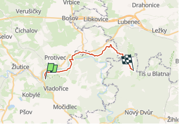

5 km | 6,9 km-effort

Tous les sentiers balisés d’Europe GUIDE+


Gratisgps-wandelapplicatie
 SityTrail
IGN / Geografische instituten
SityTrail World
De wereld gaat voor u open
Tocht Te voet van 14,6 km beschikbaar op Noordwest, Regio Karlsbad, Žlutice. Deze tocht wordt voorgesteld door SityTrail - itinéraires balisés pédestres.
Tocht aangemaakt door cz:KČT.


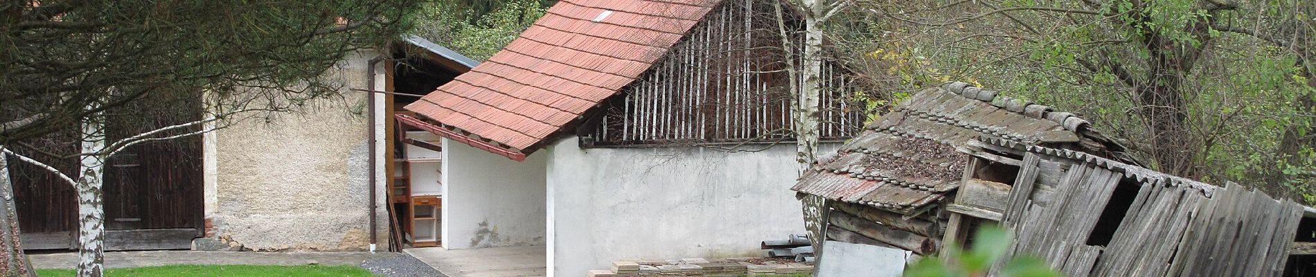
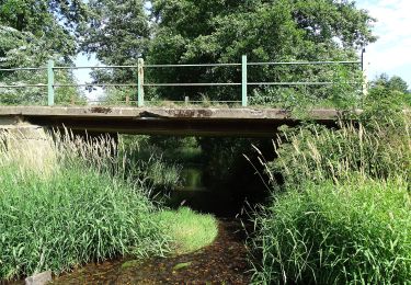
Te voet
![Tocht Te voet Kryry - [M] Nepomyšl - Kryry - Photo](https://media.geolcdn.com/t/375/260/a2408f13-d402-4160-be99-95020e040a2f.jpeg&format=jpg&maxdim=2)
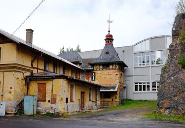
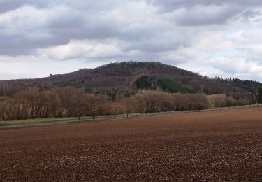
Te voet
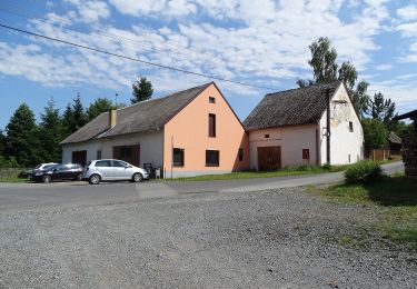
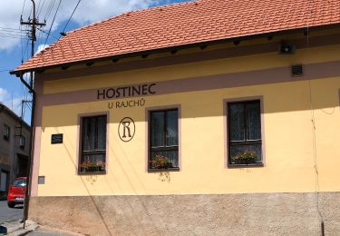
Te voet
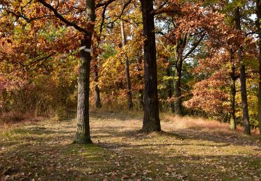
Te voet
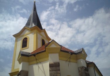
![Tocht Te voet Krásný Dvůr - [Č] 0378 Červený okruh - Photo](https://media.geolcdn.com/t/375/260/a2237453-12a7-4014-acf3-8544ee4986a4.jpeg&format=jpg&maxdim=2)
Te voet
Te voet
Te voet
Te voet
Te voet