


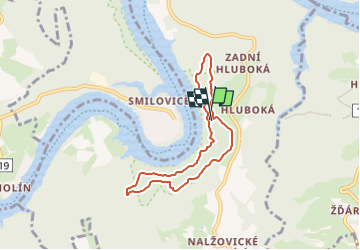

10,1 km | 13,5 km-effort


Tous les sentiers balisés d’Europe GUIDE+


Gratisgps-wandelapplicatie
 SityTrail
IGN / Geografische instituten
SityTrail World
De wereld gaat voor u open
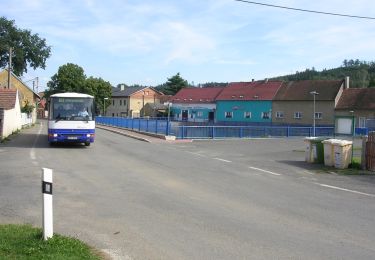
Tocht Te voet van 5,9 km beschikbaar op Centraal-Bohemen, Onbekend, Nalžovice. Deze tocht wordt voorgesteld door SityTrail - itinéraires balisés pédestres.
Tocht aangemaakt door cz:KČT.


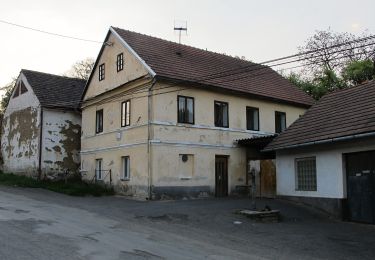
Te voet
Te voet
Te voet
Te voet
Te voet
![Tocht Te voet Chotilsko - [Z] Nahoruby - Živohošťský most - Photo](https://media.geolcdn.com/t/375/260/fa260171-e240-419e-a8d3-5f7efb5b52f4.jpeg&format=jpg&maxdim=2)
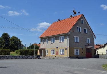
Te voet
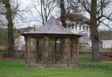
![Tocht Te voet Křečovice - [Ž] Psané skály - Třebsín - Photo](https://media.geolcdn.com/t/375/260/3cd7229a-258b-4497-bbf4-a53a3dbe60e8.jpeg&format=jpg&maxdim=2)
Te voet
![Tocht Te voet Chotilsko - [Ž] Živohošť-Hříměždice - Photo](https://media.geolcdn.com/t/375/260/ext.jpg?maxdim=2&url=https%3A%2F%2Fstatic1.geolcdn.com%2Fsiteimages%2Fupload%2Ffiles%2F1545311037marcheuse_200dpi.jpg)
Te voet
Te voet