


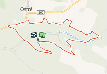

3,8 km | 4,2 km-effort

Tous les sentiers balisés d’Europe GUIDE+


Gratisgps-wandelapplicatie
 SityTrail
IGN / Geografische instituten
SityTrail World
De wereld gaat voor u open
Tocht Te voet van 5,8 km beschikbaar op Noordwest, Ústecký kraj, Úštěk. Deze tocht wordt voorgesteld door SityTrail - itinéraires balisés pédestres.
Tocht aangemaakt door cz:KČT.


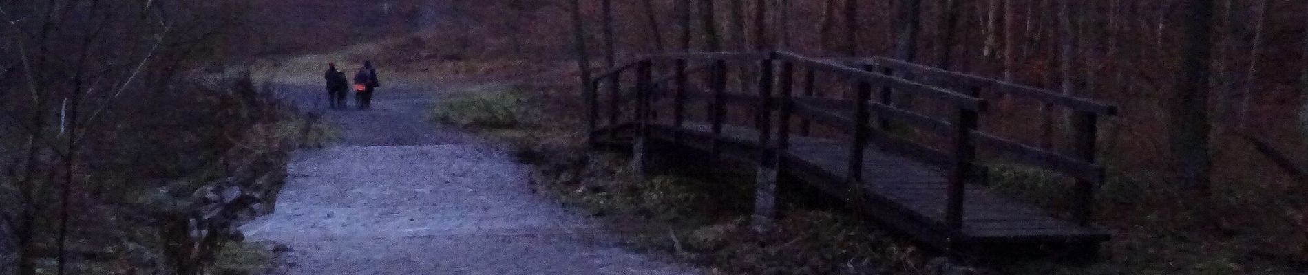
Te voet
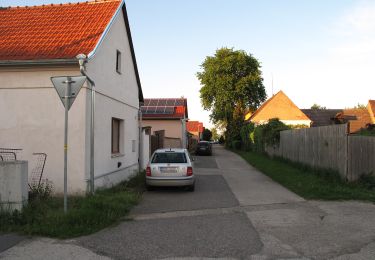
![Tocht Te voet Křešice - [M] Horní Řepčice - Křešice - Photo](https://media.geolcdn.com/t/375/260/17abcfa0-1fb4-49f5-9ce4-d3fc27610efa.jpeg&format=jpg&maxdim=2)
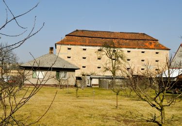
Te voet
![Tocht Te voet Dubá - [Z] Dubá - místní okruh - Photo](https://media.geolcdn.com/t/375/260/34bbea99-b172-428f-985b-ab1f4428ddc7.jpeg&format=jpg&maxdim=2)
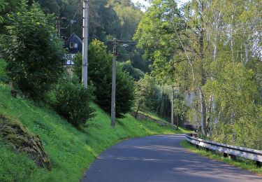
Te voet
Te voet
Te voet
Te voet
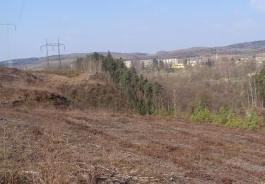
![Tocht Te voet Malečov - [Z] Nová Ves - Malečov - Photo](https://media.geolcdn.com/t/375/260/688e9a7f-c1c6-48e7-b04c-0f1bf5f8973f.jpeg&format=jpg&maxdim=2)
Te voet
Te voet
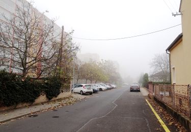
![Tocht Te voet Sloup v Čechách - [Žm] Sloupský okruh žlutý - Photo](https://media.geolcdn.com/t/375/260/783b7ca7-5ea0-436c-96f2-5e1bb8c3f7a4.jpeg&format=jpg&maxdim=2)
Te voet