![](/images/other/stat-length.png)
![Tocht Te voet Kunžak - žlutá Kunžak Lomy - Pod Vysokým kamenem - Photo](https://media.geolcdn.com/t/1900/400/8d6deced-a5ac-4da4-b4ec-a4d55816f973.jpeg&format=pjpeg&maxdim=2)
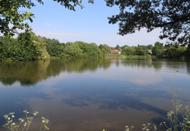
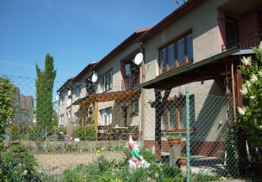
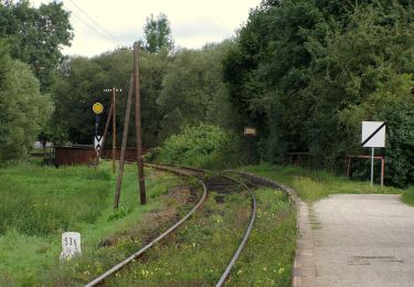
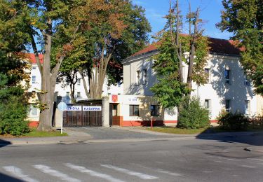
žlutá Kunžak Lomy - Pod Vysokým kamenem
SityTrail - itinéraires balisés pédestres
Tous les sentiers balisés d’Europe GUIDE+
![Lengte](/images/other/stat-length.png)
Lengte
3,9 km
![Max. hoogte](https://static1.geolcdn.com/siteimages/upload/files/1508320355ic_sort_altitude_max_24dp.png)
Max. hoogte
732 m
![Positief hoogteverschil](https://static1.geolcdn.com/siteimages/upload/files/1508320355ic_sort_den_pos_24dp.png)
Positief hoogteverschil
33 m
![Km-Effort](/images/other/stat-length.png)
Km-Effort
4,7 km
![Min. hoogte](https://static1.geolcdn.com/siteimages/upload/files/1508320355ic_sort_altitude_min_24dp.png)
Min. hoogte
591 m
![Negatief hoogteverschil](https://static1.geolcdn.com/siteimages/upload/files/1508320355ic_sort_den_neg_24dp.png)
Negatief hoogteverschil
147 m
![Boucle](https://static1.geolcdn.com/siteimages/upload/files/16400158638029165_repeat_loop_refresh_sync_direction_icon.png)
Boucle
Neen
Markering
Datum van aanmaak :
2025-02-07 00:57:31.252
Laatste wijziging :
2025-02-07 00:57:31.252
![Te voet](https://static1.geolcdn.com/sitytour/trail-icons/100.png)
1h04
Moeilijkheid : Gemakkelijk
![Scan deze QR-code om de tocht te openen in de SityTrail-applicatie](https://capi.geolives.com/qq0zvz2zws4bq2lad0pu/sitytour/trails/4344357/qr.png?size=200)
Gratisgps-wandelapplicatie
Over ons
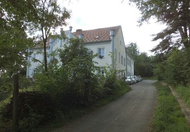
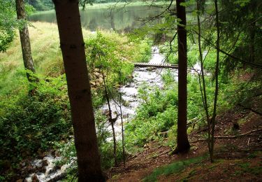
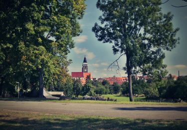
Tocht Te voet van 3,9 km beschikbaar op Zuidwest, Zuid-Bohemen, Kunžak. Deze tocht wordt voorgesteld door SityTrail - itinéraires balisés pédestres.
Beschrijving
Tocht aangemaakt door cz:KČT.
Plaatsbepaling
Land:
Czech Republic
Regio :
Zuidwest
Departement/Provincie :
Zuid-Bohemen
Gemeente :
Kunžak
Locatie:
Unknown
Vertrek:(Dec)
Vertrek:(UTM)
513817 ; 5437094 (33U) N.
Opmerkingen
Wandeltochten in de omgeving
![Tocht Te voet Kostelní Myslová - Naučná stezka F. M. Nágla - Photo](https://media.geolcdn.com/t/375/260/d952882b-c3b0-45c4-96b7-77250ac36d82.jpeg&format=jpg&maxdim=2)
![Te voet Te voet](https://static1.geolcdn.com/sitytour/trail-icons/100.png)
Naučná stezka F. M. Nágla
Te voet
Gemakkelijk
Kostelní Myslová,
Zuidoost,
Kraj Vysočina,
Czech Republic
![](/images/other/stat-length.png)
3,5 km | 4,4 km-effort
1h 0min
![](https://static1.geolcdn.com/siteimages/upload/files/16400158638029165_repeat_loop_refresh_sync_direction_icon.png)
Ja
![Tocht Te voet Telč - NS Otokara Březiny - Photo](https://media.geolcdn.com/t/375/260/703d2f25-c711-47da-b690-62cdf36f0fa8.jpeg&format=jpg&maxdim=2)
![Te voet Te voet](https://static1.geolcdn.com/sitytour/trail-icons/100.png)
NS Otokara Březiny
Te voet
Medium
Telč,
Zuidoost,
Kraj Vysočina,
Czech Republic
![](/images/other/stat-length.png)
19,3 km | 25 km-effort
5h 37min
![](https://static1.geolcdn.com/siteimages/upload/files/16400158638029165_repeat_loop_refresh_sync_direction_icon.png)
Neen
![Tocht Te voet Heřmaneč - NS valdenské a české reformace - Photo](https://media.geolcdn.com/t/375/260/d5a47e21-ef93-4ba2-bf5b-460931567f89.jpeg&format=jpg&maxdim=2)
![Te voet Te voet](https://static1.geolcdn.com/sitytour/trail-icons/100.png)
NS valdenské a české reformace
Te voet
Gemakkelijk
Heřmaneč,
Zuidwest,
Zuid-Bohemen,
Czech Republic
![](/images/other/stat-length.png)
12,2 km | 16 km-effort
3h 37min
![](https://static1.geolcdn.com/siteimages/upload/files/16400158638029165_repeat_loop_refresh_sync_direction_icon.png)
Neen
![Tocht Te voet Dačice - NS Okolím Dačic - Photo](https://media.geolcdn.com/t/375/260/fb6dc71b-485f-4ce9-b157-33d6c208fd05.jpeg&format=jpg&maxdim=2)
![Te voet Te voet](https://static1.geolcdn.com/sitytour/trail-icons/100.png)
NS Okolím Dačic
Te voet
Gemakkelijk
Dačice,
Zuidwest,
Zuid-Bohemen,
Czech Republic
![](/images/other/stat-length.png)
10,4 km | 12,5 km-effort
2h 50min
![](https://static1.geolcdn.com/siteimages/upload/files/16400158638029165_repeat_loop_refresh_sync_direction_icon.png)
Ja
![Tocht Te voet Blažejov - Jindrova NS - Photo](https://media.geolcdn.com/t/375/260/69cc2369-2488-42b0-ab37-2bdeeb7298f5.jpeg&format=jpg&maxdim=2)
![Te voet Te voet](https://static1.geolcdn.com/sitytour/trail-icons/100.png)
Jindrova NS
Te voet
Gemakkelijk
Blažejov,
Zuidwest,
Zuid-Bohemen,
Czech Republic
![](/images/other/stat-length.png)
12,4 km | 15 km-effort
3h 24min
![](https://static1.geolcdn.com/siteimages/upload/files/16400158638029165_repeat_loop_refresh_sync_direction_icon.png)
Neen
![Tocht Te voet Chlum u Třeboně - NS Mikuláše Rutharda - Photo](https://media.geolcdn.com/t/375/260/8b4e12c5-eab4-465c-9f20-2cef165ac95c.jpeg&format=jpg&maxdim=2)
![Te voet Te voet](https://static1.geolcdn.com/sitytour/trail-icons/100.png)
NS Mikuláše Rutharda
Te voet
Gemakkelijk
Chlum u Třeboně,
Zuidwest,
Zuid-Bohemen,
Czech Republic
![](/images/other/stat-length.png)
10,5 km | 12,1 km-effort
2h 45min
![](https://static1.geolcdn.com/siteimages/upload/files/16400158638029165_repeat_loop_refresh_sync_direction_icon.png)
Neen
![Tocht Te voet Slavonice - NS Pohádkovým lesem - Photo](https://media.geolcdn.com/t/375/260/d7a65147-1182-46e6-b53c-592ff6e119f3.jpeg&format=jpg&maxdim=2)
![Te voet Te voet](https://static1.geolcdn.com/sitytour/trail-icons/100.png)
NS Pohádkovým lesem
Te voet
Gemakkelijk
Slavonice,
Zuidwest,
Zuid-Bohemen,
Czech Republic
![](/images/other/stat-length.png)
3,4 km | 4,5 km-effort
1h 1min
![](https://static1.geolcdn.com/siteimages/upload/files/16400158638029165_repeat_loop_refresh_sync_direction_icon.png)
Neen
![Tocht Te voet Český Rudolec - Graselova stezka (G) - Český Rudolec - Photo](https://media.geolcdn.com/t/375/260/3f39a127-cc74-4865-934d-74f13b55844d.jpeg&format=jpg&maxdim=2)
![Te voet Te voet](https://static1.geolcdn.com/sitytour/trail-icons/100.png)
Graselova stezka (G) - Český Rudolec
Te voet
Gemakkelijk
Český Rudolec,
Zuidwest,
Zuid-Bohemen,
Czech Republic
![](/images/other/stat-length.png)
10,1 km | 13 km-effort
2h 56min
![](https://static1.geolcdn.com/siteimages/upload/files/16400158638029165_repeat_loop_refresh_sync_direction_icon.png)
Ja
![Tocht Te voet Slavonice - Graselova stezka (G) - Slavonice - Photo](https://media.geolcdn.com/t/375/260/63ffc000-7ae9-476b-9091-a50878743435.jpeg&format=jpg&maxdim=2)
![Te voet Te voet](https://static1.geolcdn.com/sitytour/trail-icons/100.png)
Graselova stezka (G) - Slavonice
Te voet
Medium
Slavonice,
Zuidwest,
Zuid-Bohemen,
Czech Republic
![](/images/other/stat-length.png)
17,7 km | 22 km-effort
4h 53min
![](https://static1.geolcdn.com/siteimages/upload/files/16400158638029165_repeat_loop_refresh_sync_direction_icon.png)
Neen