


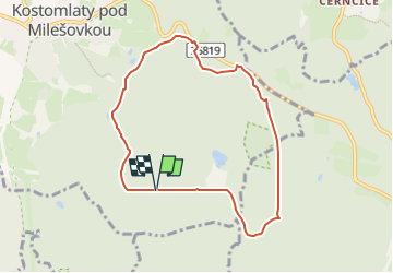

11 km | 16,6 km-effort

Tous les sentiers balisés d’Europe GUIDE+


Gratisgps-wandelapplicatie
 SityTrail
IGN / Geografische instituten
SityTrail World
De wereld gaat voor u open
Tocht Te voet van 7,1 km beschikbaar op Noordwest, Ústecký kraj, Kostomlaty pod Milešovkou. Deze tocht wordt voorgesteld door SityTrail - itinéraires balisés pédestres.
Tocht aangemaakt door cz:KČT.


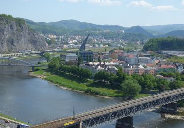
![Tocht Te voet Ústí nad Labem - [Z] Sebuzín - Litoměřice - Photo](https://media.geolcdn.com/t/375/260/167dfb07-9404-4e35-a708-f0ca52d05b8b.jpeg&format=jpg&maxdim=2)
Te voet
Te voet
Te voet
Te voet
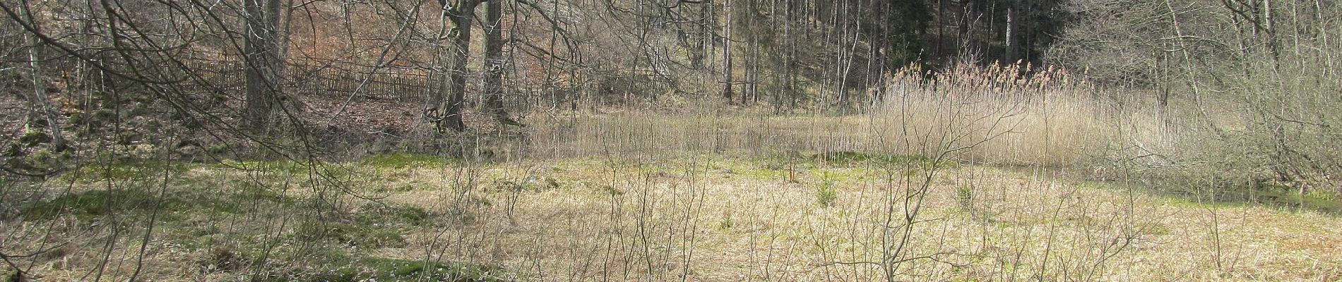
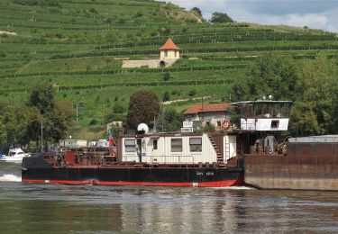
![Tocht Te voet Evaň - [Z] Poplze - Horka - Photo](https://media.geolcdn.com/t/375/260/58b6020a-01a4-4926-b083-ab4b33d6a3be.jpeg&format=jpg&maxdim=2)
Te voet
Te voet
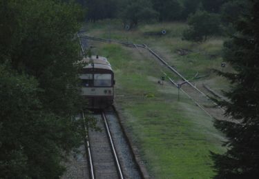
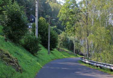
![Tocht Te voet Ústí nad Labem - [Z] Dobětice - Velké Chvojno - Photo](https://media.geolcdn.com/t/375/260/92f062a0-9eab-432b-8d79-33bfa2de2d0d.jpeg&format=jpg&maxdim=2)
Te voet
![Tocht Te voet Malečov - [Z] Nová Ves - Malečov - Photo](https://media.geolcdn.com/t/375/260/688e9a7f-c1c6-48e7-b04c-0f1bf5f8973f.jpeg&format=jpg&maxdim=2)
Te voet
![Tocht Te voet Malé Březno - [M] Buková hora - Malé Březno - Photo](https://media.geolcdn.com/t/375/260/2b341838-db20-4c44-88a3-3826b35a532c.jpeg&format=jpg&maxdim=2)
Te voet