


6,2 km | 7,4 km-effort
![Tocht Te voet Valy - [Č] Heřmanův Městec - Lepějovice - Photo](https://media.geolcdn.com/t/1900/400/54f32eee-5fd1-4854-b492-42524c595dd4.jpeg&format=pjpeg&maxdim=2)

Tous les sentiers balisés d’Europe GUIDE+


Gratisgps-wandelapplicatie
 SityTrail
IGN / Geografische instituten
SityTrail World
De wereld gaat voor u open
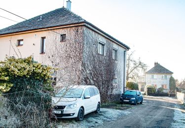
Tocht Te voet van 14,5 km beschikbaar op Noordoost, Pardubický kraj, Valy. Deze tocht wordt voorgesteld door SityTrail - itinéraires balisés pédestres.
Tocht aangemaakt door cz:KČT.
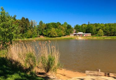
![Tocht Te voet Valy - [Č] Heřmanův Městec - Lepějovice - Photo 1](https://media.geolcdn.com/t/2048/auto/31712011-744e-4469-878e-664be22f562a.jpeg&format=jpg&maxdim=0 "Tocht Te voet Valy - [Č] Heřmanův Městec - Lepějovice - Photo 1")
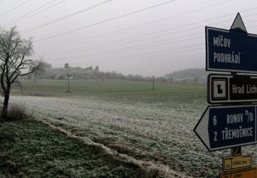
![Tocht Te voet Valy - [Č] Heřmanův Městec - Lepějovice - Photo 2](https://media.geolcdn.com/t/2048/auto/13155c57-f7a9-4e22-ab6a-6a87534555c0.jpeg&format=jpg&maxdim=0 "Tocht Te voet Valy - [Č] Heřmanův Městec - Lepějovice - Photo 2")
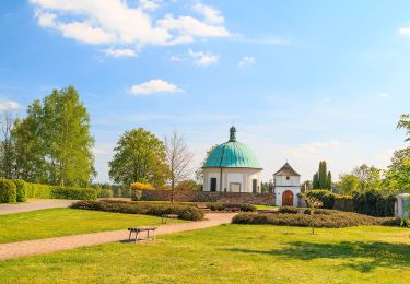
![Tocht Te voet Valy - [Č] Heřmanův Městec - Lepějovice - Photo 3](https://media.geolcdn.com/t/2048/auto/ef37388c-0a6d-4f7d-8b8b-578802c6459e.jpeg&format=jpg&maxdim=0 "Tocht Te voet Valy - [Č] Heřmanův Městec - Lepějovice - Photo 3")
![Tocht Te voet Valy - [Č] Heřmanův Městec - Lepějovice - Photo 4](https://media.geolcdn.com/t/2048/auto/d0e70f97-bd16-4d4c-bd51-cb50744e7b5a.jpeg&format=jpg&maxdim=0 "Tocht Te voet Valy - [Č] Heřmanův Městec - Lepějovice - Photo 4")
![Tocht Te voet Valy - [Č] Heřmanův Městec - Lepějovice - Photo 5](https://media.geolcdn.com/t/2048/auto/874089a4-b945-4a58-af14-44cb8abf85f1.jpeg&format=jpg&maxdim=0 "Tocht Te voet Valy - [Č] Heřmanův Městec - Lepějovice - Photo 5")
![Tocht Te voet Valy - [Č] Heřmanův Městec - Lepějovice - Photo 6](https://media.geolcdn.com/t/2048/auto/0a97ff7c-d667-4cc0-b4fb-1637a7b7295c.jpeg&format=jpg&maxdim=0 "Tocht Te voet Valy - [Č] Heřmanův Městec - Lepějovice - Photo 6")
![Tocht Te voet Valy - [Č] Heřmanův Městec - Lepějovice - Photo 7](https://media.geolcdn.com/t/2048/auto/d99a5046-3840-4b2a-bba4-474681cb4e20.jpeg&format=jpg&maxdim=0 "Tocht Te voet Valy - [Č] Heřmanův Městec - Lepějovice - Photo 7")
![Tocht Te voet Valy - [Č] Heřmanův Městec - Lepějovice - Photo 8](https://media.geolcdn.com/t/2048/auto/b1baf91f-ffee-4412-8fbd-34185050b497.jpeg&format=jpg&maxdim=0 "Tocht Te voet Valy - [Č] Heřmanův Městec - Lepějovice - Photo 8")
![Tocht Te voet Valy - [Č] Heřmanův Městec - Lepějovice - Photo 9](https://media.geolcdn.com/t/2048/auto/4bd374dd-a1c8-4ffe-abde-576a7e76c367.jpeg&format=jpg&maxdim=0 "Tocht Te voet Valy - [Č] Heřmanův Městec - Lepějovice - Photo 9")
![Tocht Te voet Valy - [Č] Heřmanův Městec - Lepějovice - Photo 10](https://media.geolcdn.com/t/2048/auto/54f32eee-5fd1-4854-b492-42524c595dd4.jpeg&format=jpg&maxdim=0 "Tocht Te voet Valy - [Č] Heřmanův Městec - Lepějovice - Photo 10")
![Tocht Te voet Třemošnice - [Ž] Údolím Doubravy (Pařížov - Třemošnice) - Photo](https://media.geolcdn.com/t/375/260/128e315c-4870-4181-9cde-93bc9f6c90c5.jpeg&format=jpg&maxdim=2)
Te voet
Te voet
Te voet
Te voet
![Tocht Te voet Semtěš - [M] Sovoluská Lhota - Semtěš - Photo](https://media.geolcdn.com/t/375/260/6dcc2a2d-a7c6-4ace-9e33-9a21e2524107.jpeg&format=jpg&maxdim=2)
Te voet
![Tocht Te voet Bojanov - [Z] Bojanov - Paseky - Photo](https://media.geolcdn.com/t/375/260/689a1760-7fdb-49b8-ad63-f32d003ca200.jpeg&format=jpg&maxdim=2)
Te voet
![Tocht Te voet Chvaletice - [Ž] Chvaletice - Zdechovice - Photo](https://media.geolcdn.com/t/375/260/39c46424-55e5-40a2-91e0-fe07a8fd4f51.jpeg&format=jpg&maxdim=2)
Te voet
Te voet
![Tocht Te voet Semtěš - [Ž] Konopáč - Semtěš - Photo](https://media.geolcdn.com/t/375/260/4b4cb51a-3f87-4840-8d60-7e3ab3cd869f.jpeg&format=jpg&maxdim=2)
Te voet