4,9 km | 0 m-effort
Ards Forest - Green Route
SityTrail - itinéraires balisés pédestres
Tous les sentiers balisés d’Europe GUIDE+
Lengte
3 km
Max. hoogte
112 m
Positief hoogteverschil
97 m
Km-Effort
4,3 km
Min. hoogte
16 m
Negatief hoogteverschil
91 m
Boucle
Ja
Markering
Datum van aanmaak :
2025-02-06 12:59:15.524
Laatste wijziging :
2025-02-06 12:59:15.524
58m
Moeilijkheid : Gemakkelijk
Gratisgps-wandelapplicatie
Over ons
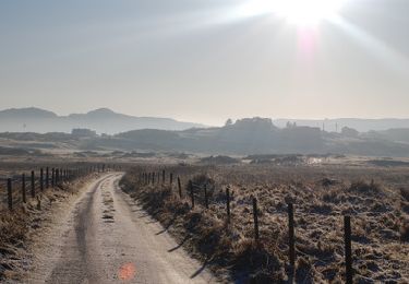
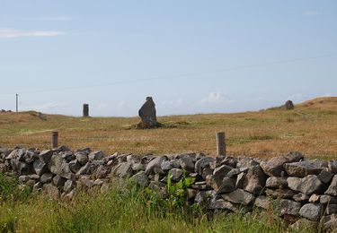
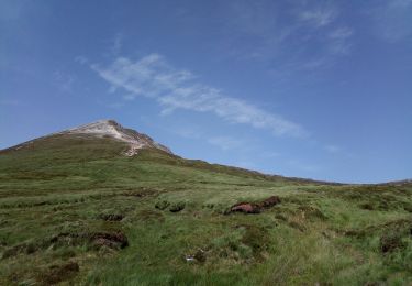
Tocht Te voet van 3 km beschikbaar op Onbekend, County Donegal, Glenties Municipal District. Deze tocht wordt voorgesteld door SityTrail - itinéraires balisés pédestres.
Plaatsbepaling
Land:
Ireland
Regio :
Onbekend
Departement/Provincie :
County Donegal
Gemeente :
Glenties Municipal District
Locatie:
Ards ED
Vertrek:(Dec)
Vertrek:(UTM)
570814 ; 6113013 (29U) N.
Opmerkingen
Wandeltochten in de omgeving
Irlande 45 Errigal Mountain
Stappen
Medium
Glenties Municipal District,
Onbekend,
County Donegal,
Ireland
2h 36min
Ja
fanad route
Andere activiteiten
Heel gemakkelijk
Letterkenny Municipal District,
Onbekend,
County Donegal,
Ireland
15,8 km | 19 km-effort
4h 25min
Ja
Araheera Bicycle Route Route 1
Fiets
Heel gemakkelijk
Letterkenny Municipal District,
Onbekend,
County Donegal,
Ireland
16,2 km | 19,5 km-effort
47min
Ja
Lough Salt
Stappen
Heel gemakkelijk
Letterkenny Municipal District,
Onbekend,
County Donegal,
Ireland
7,1 km | 10,4 km-effort
3h 0min
Ja
Glenveagh Castle
Mountainbike
Moeilijk
Glenties Municipal District,
Onbekend,
County Donegal,
Ireland
32 km | 39 km-effort
2h 43min
Ja
gortahork
Stappen
Moeilijk
Glenties Municipal District,
Onbekend,
County Donegal,
Ireland
10,1 km | 12,9 km-effort
3h 9min
Ja