![](/images/other/stat-length.png)
![Tocht Te voet Claremorris-Swinford Municipal District - Spankers Hill - Photo](https://media.geolcdn.com/t/1900/400/84ecbe61-884f-42b1-9538-d96fa5528933.jpeg&format=pjpeg&maxdim=2)
Spankers Hill
SityTrail - itinéraires balisés pédestres
Tous les sentiers balisés d’Europe GUIDE+
![Lengte](/images/other/stat-length.png)
Lengte
17,4 km
![Max. hoogte](https://static1.geolcdn.com/siteimages/upload/files/1508320355ic_sort_altitude_max_24dp.png)
Max. hoogte
232 m
![Positief hoogteverschil](https://static1.geolcdn.com/siteimages/upload/files/1508320355ic_sort_den_pos_24dp.png)
Positief hoogteverschil
281 m
![Km-Effort](/images/other/stat-length.png)
Km-Effort
21 km
![Min. hoogte](https://static1.geolcdn.com/siteimages/upload/files/1508320355ic_sort_altitude_min_24dp.png)
Min. hoogte
42 m
![Negatief hoogteverschil](https://static1.geolcdn.com/siteimages/upload/files/1508320355ic_sort_den_neg_24dp.png)
Negatief hoogteverschil
281 m
![Boucle](https://static1.geolcdn.com/siteimages/upload/files/16400158638029165_repeat_loop_refresh_sync_direction_icon.png)
Boucle
Ja
Markering
Datum van aanmaak :
2025-02-06 12:41:24.451
Laatste wijziging :
2025-02-06 12:41:24.451
![Te voet](https://static1.geolcdn.com/sitytour/trail-icons/100.png)
4h48
Moeilijkheid : Medium
![Scan deze QR-code om de tocht te openen in de SityTrail-applicatie](https://capi.geolives.com/qq0zvz2zws4bq2lad0pu/sitytour/trails/4342893/qr.png?size=200)
Gratisgps-wandelapplicatie
Over ons
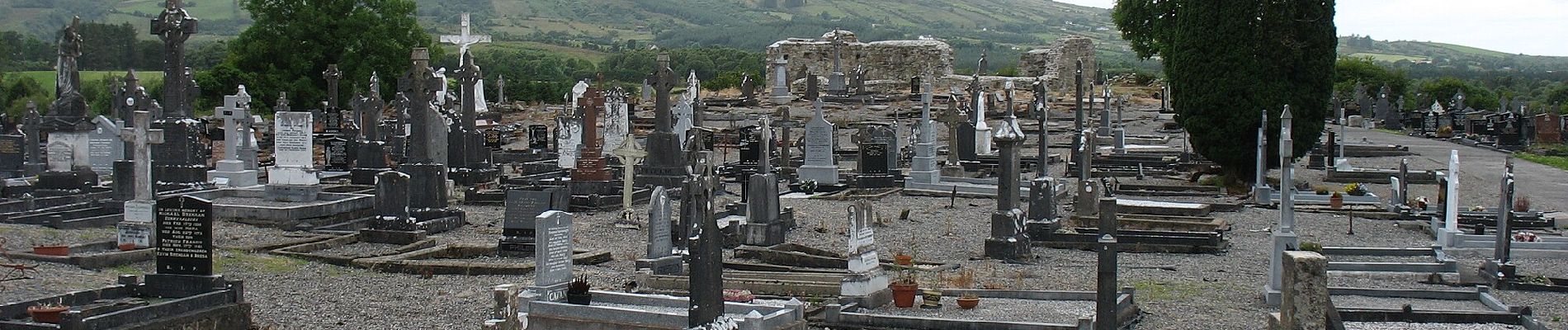
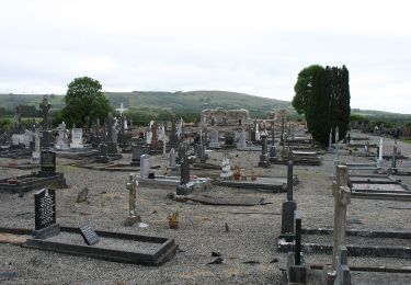
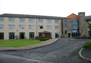
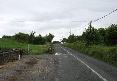
Tocht Te voet van 17,4 km beschikbaar op Onbekend, County Mayo, Claremorris-Swinford Municipal District. Deze tocht wordt voorgesteld door SityTrail - itinéraires balisés pédestres.
Beschrijving
Symbool: hiker
Website: http://www.mayotrails.ie/kiltimagh.html#spankers
Plaatsbepaling
Land:
Ireland
Regio :
Onbekend
Departement/Provincie :
County Mayo
Gemeente :
Claremorris-Swinford Municipal District
Locatie:
Kiltamagh ED
Vertrek:(Dec)
Vertrek:(UTM)
500053 ; 5966872 (29U) N.
Opmerkingen
Wandeltochten in de omgeving
![Tocht Te voet Claremorris-Swinford Municipal District - Slieve Cairn Foothills - Photo](https://media.geolcdn.com/t/375/260/84ecbe61-884f-42b1-9538-d96fa5528933.jpeg&format=jpg&maxdim=2)
![Te voet Te voet](https://static1.geolcdn.com/sitytour/trail-icons/100.png)
Slieve Cairn Foothills
Te voet
Gemakkelijk
Claremorris-Swinford Municipal District,
Onbekend,
County Mayo,
Ireland
![](/images/other/stat-length.png)
9 km | 10,2 km-effort
2h 18min
![](https://static1.geolcdn.com/siteimages/upload/files/16400158638029165_repeat_loop_refresh_sync_direction_icon.png)
Ja
![Tocht Te voet Claremorris-Swinford Municipal District - Glore River Valley - Photo](https://media.geolcdn.com/t/375/260/6f4ea451-1bfc-4472-a86e-9f99de10d1dc.jpeg&format=jpg&maxdim=2)
![Te voet Te voet](https://static1.geolcdn.com/sitytour/trail-icons/100.png)
Glore River Valley
Te voet
Gemakkelijk
Claremorris-Swinford Municipal District,
Onbekend,
County Mayo,
Ireland
![](/images/other/stat-length.png)
14,3 km | 16 km-effort
3h 38min
![](https://static1.geolcdn.com/siteimages/upload/files/16400158638029165_repeat_loop_refresh_sync_direction_icon.png)
Ja
![Tocht Te voet Claremorris-Swinford Municipal District - Sliabh Cairn Peak - Photo](https://media.geolcdn.com/t/375/260/daf1e79e-76fc-482a-bbb7-5f218264dfad.jpeg&format=jpg&maxdim=2)
![Te voet Te voet](https://static1.geolcdn.com/sitytour/trail-icons/100.png)
Sliabh Cairn Peak
Te voet
Gemakkelijk
Claremorris-Swinford Municipal District,
Onbekend,
County Mayo,
Ireland
![](/images/other/stat-length.png)
15,8 km | 19,8 km-effort
4h 29min
![](https://static1.geolcdn.com/siteimages/upload/files/16400158638029165_repeat_loop_refresh_sync_direction_icon.png)
Ja
![Tocht Te voet Claremorris-Swinford Municipal District - Ballyglass - Photo](https://media.geolcdn.com/t/375/260/12666594-d1a2-4689-8bbc-323b37aba0da.jpeg&format=jpg&maxdim=2)
![Te voet Te voet](https://static1.geolcdn.com/sitytour/trail-icons/100.png)
Ballyglass
Te voet
Gemakkelijk
Claremorris-Swinford Municipal District,
Onbekend,
County Mayo,
Ireland
![](/images/other/stat-length.png)
5,8 km | 6,3 km-effort
1h 25min
![](https://static1.geolcdn.com/siteimages/upload/files/16400158638029165_repeat_loop_refresh_sync_direction_icon.png)
Ja