


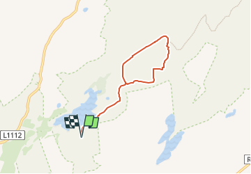

9,4 km | 12 km-effort


Tous les sentiers balisés d’Europe GUIDE+


Gratisgps-wandelapplicatie
 SityTrail
IGN / Geografische instituten
SityTrail World
De wereld gaat voor u open
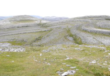
Tocht Te voet van 5,3 km beschikbaar op Onbekend, County Clare, West Clare Municipal District. Deze tocht wordt voorgesteld door SityTrail - itinéraires balisés pédestres.
Tocht aangemaakt door Burren National Park.
Symbool: blue dot


Stappen
Stappen

Stappen
Stappen
Stappen
Stappen

Auto
Te voet