


46 km | 51 km-effort

Tous les sentiers balisés d’Europe GUIDE+


Gratisgps-wandelapplicatie
 SityTrail
IGN / Geografische instituten
SityTrail World
De wereld gaat voor u open
Tocht Te voet van 3,2 km beschikbaar op Engeland, Derbyshire, Amber Valley. Deze tocht wordt voorgesteld door SityTrail - itinéraires balisés pédestres.
There is a slightly longer and a slightly shorter version of this. This is the shorter one.
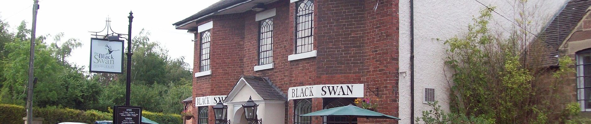
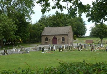
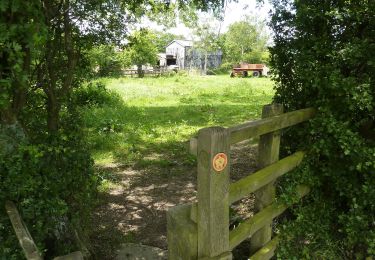
 - Photo 1")
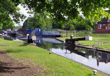
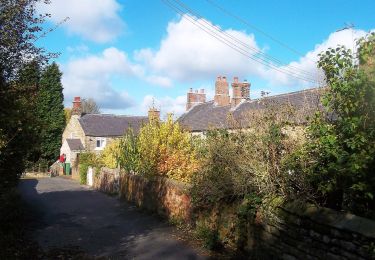
 - Photo 2")
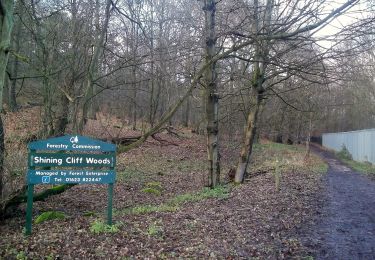
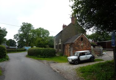
 - Photo 3")
Te voet
Te voet
Te voet

Te voet
Te voet
Te voet
Te voet
Te voet
Te voet