


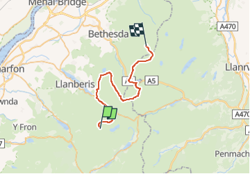

5,8 km | 14 km-effort

Tous les sentiers balisés d’Europe GUIDE+


Gratisgps-wandelapplicatie
 SityTrail
IGN / Geografische instituten
SityTrail World
De wereld gaat voor u open
Tocht Te voet van 29 km beschikbaar op Wales, Gwynedd. Deze tocht wordt voorgesteld door SityTrail - itinéraires balisés pédestres.
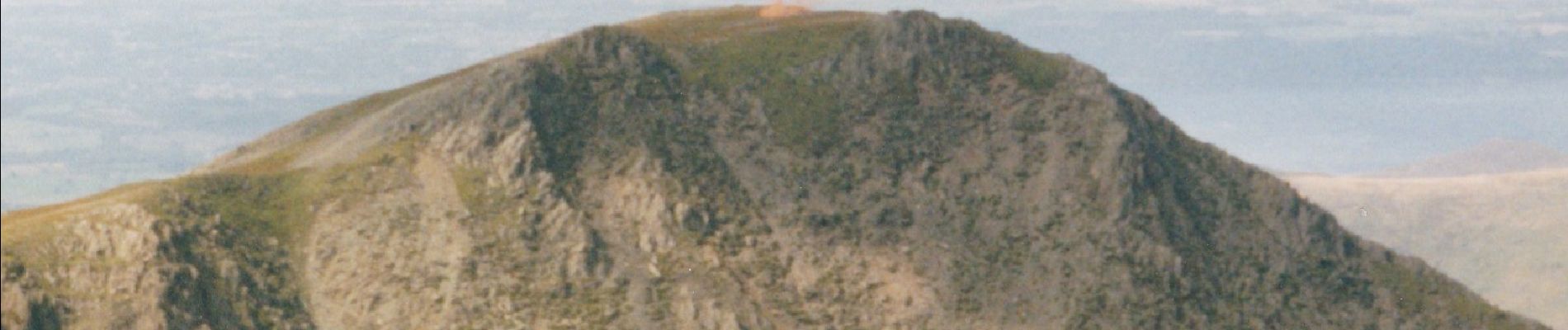
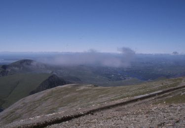
Traditional route is S-to-N, summit to summit
Website: https://www.welsh3000s.co.uk/


Te voet

Te voet
Te voet
Te voet
Te voet
Te voet